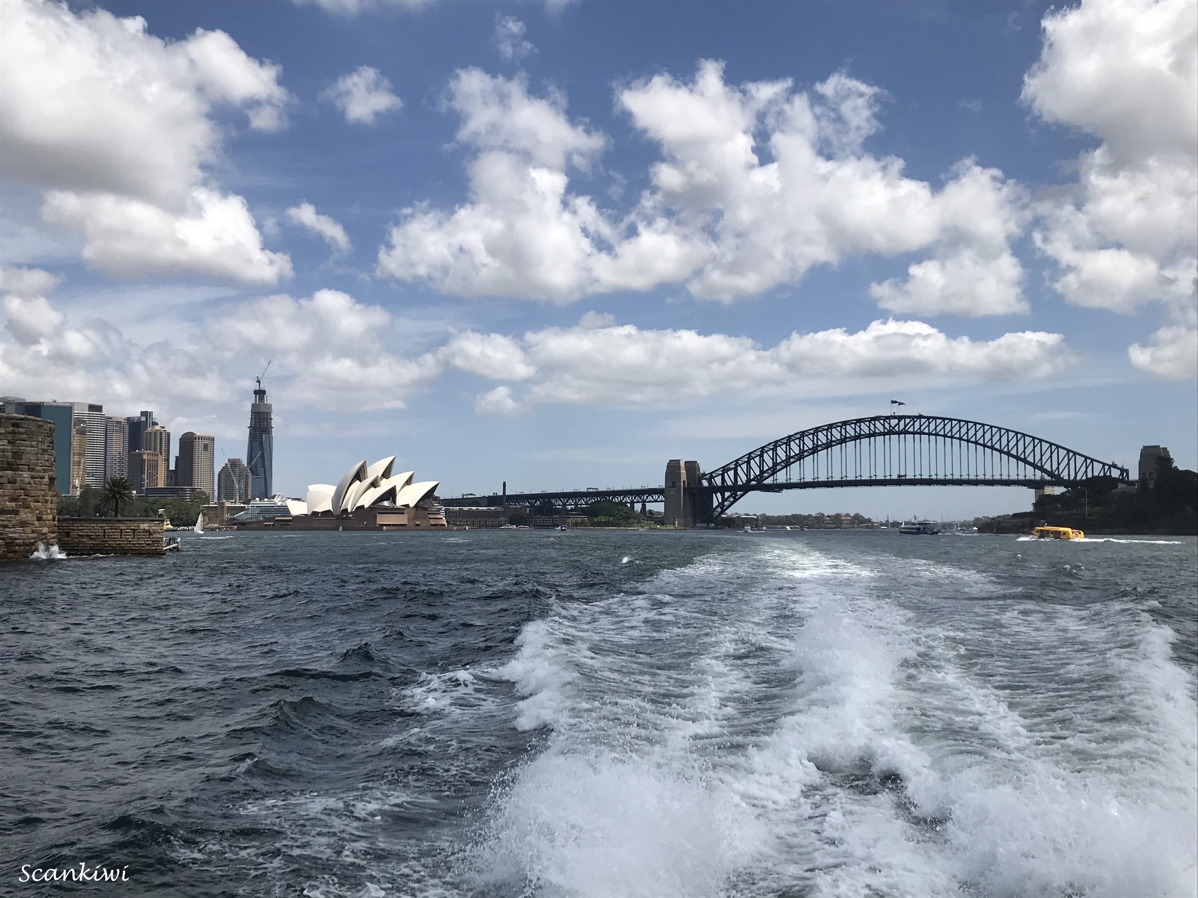
It has been awhile since I have had time to sit and work on my blog due to a heavy work load but on the other hand being so busy means not much has happened to write about. All of 2022 can be summed up in single post. Also, with my pending travels to the southern hemisphere during the next 2 months it has give me the incentive to get 2022 out of the way before I start updating everyone on my 2023 travels.
The pandemic still plagued the beginning of 2022 with restrictions not being lifted in Sweden until the 15th of February. I was quite pleased to get through the pandemic without getting infected as I had spent my time social distancing both at work and in private. When Omicron was raging I was actually sent home from work for 7 weeks. The powers that be were concerned that we were at a critical juncture in the launching the new Med-service unit that loosing its Director would be critical at this time. I must say I was reluctant at first as I have always tried to separate my working life from my private life but after I must admit there were some advantages especially not having to commute to 3 different work sites. I took advantage of being able to use the summer house (which doesn’t get much use in the winter time) to isolate there and the fact that it has its own high speed fibre connection.
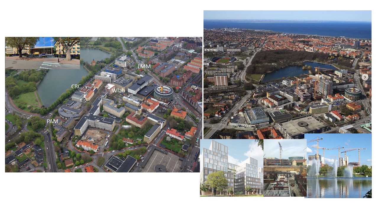
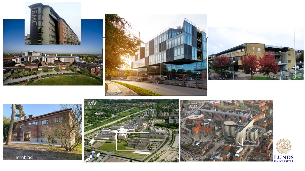
I may have failed to mention previously that during the pandemic I was recruited internally within the university to lead a new unit within the Faculty of Medicine. I lead one of three major research centres but they decided to amalgamated the leadership of all research centres and teaching facilities under one Director and one office. It means now I have the daily responsibility for all of the faculty’s teaching and research infrastructure housing some 1200 staff, 3000 students, 100 000 sq m to an investment value of $600 million NZD and a yearly drift budget of $50 million. It also meant I inherited all the staff from the 3 previous organisations. It has meant a large step up for me leading a unit of almost 40 staff from previously 11 and harmonising the organisation so they function along similar lines. Everything from administration to economy to service & investment.
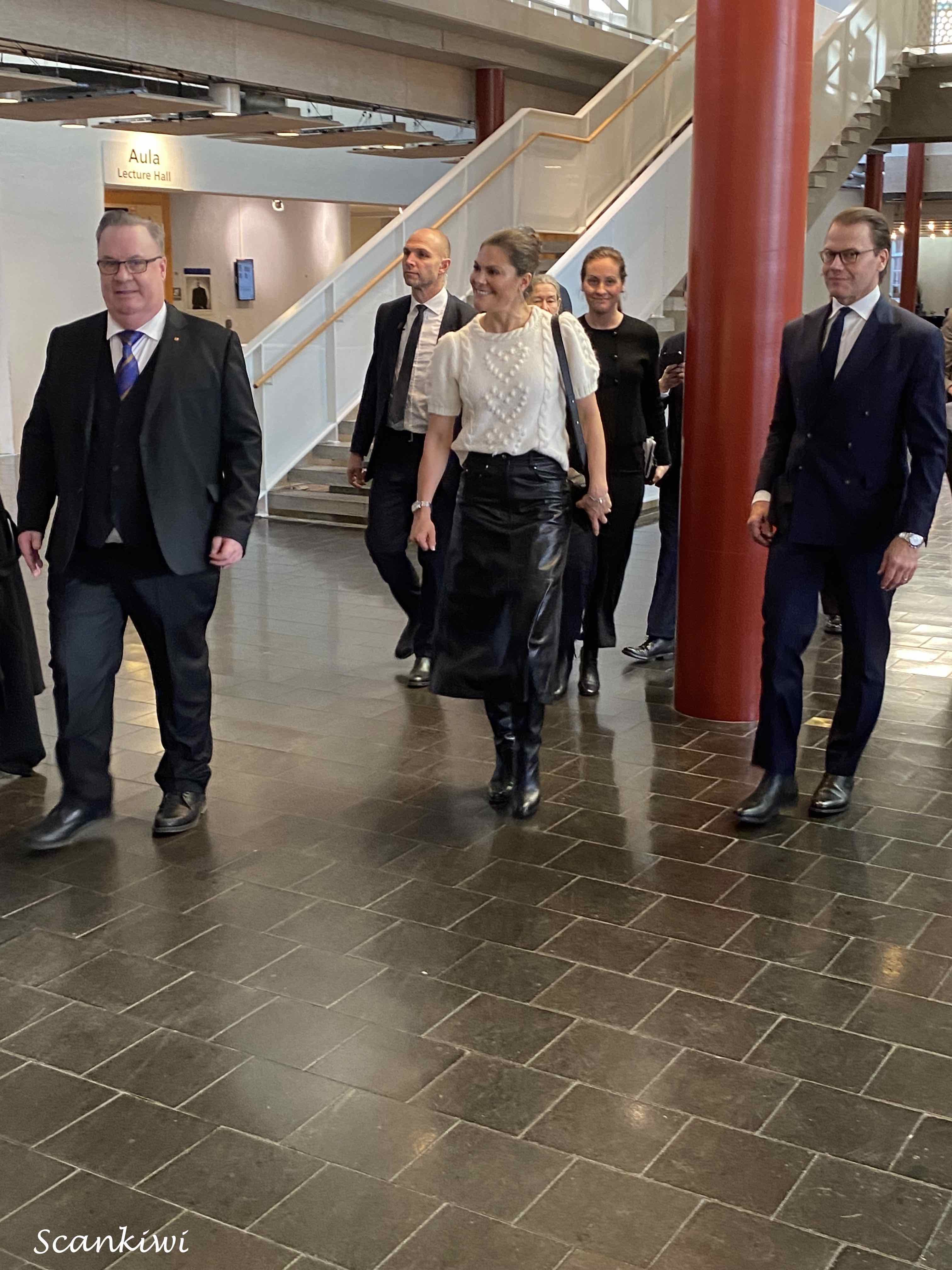
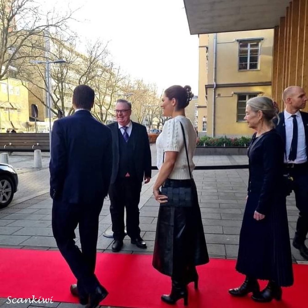
On March the 4th, I had the privilege of hosting HRH Crown Princess Viktoria (future Queen of Sweden) and her husband HRH Prince Daniel (who I have met on a few occasions previously). They were on a national tour to all the regions to thank all those who had kept the infrastructure of the country functioning during the pandemic and in particular the health care system and hence the visit to the University hospital. They spent lunch at my centre meeting staff in the Covid units from cleaners to pastors to medical staff. As I said this was not the first time I had met Prince Daniel but it was nice to meet his wife. Daniel has visited us in his role as honorary President of the Heart/Lung foundation when awarding prizes, scholarships or when they have had board meetings with us. I look forward to future visits. They are both very easy to talk to, put you at ease very quickly, are genuinely interested in what is being discussed and are well briefed.
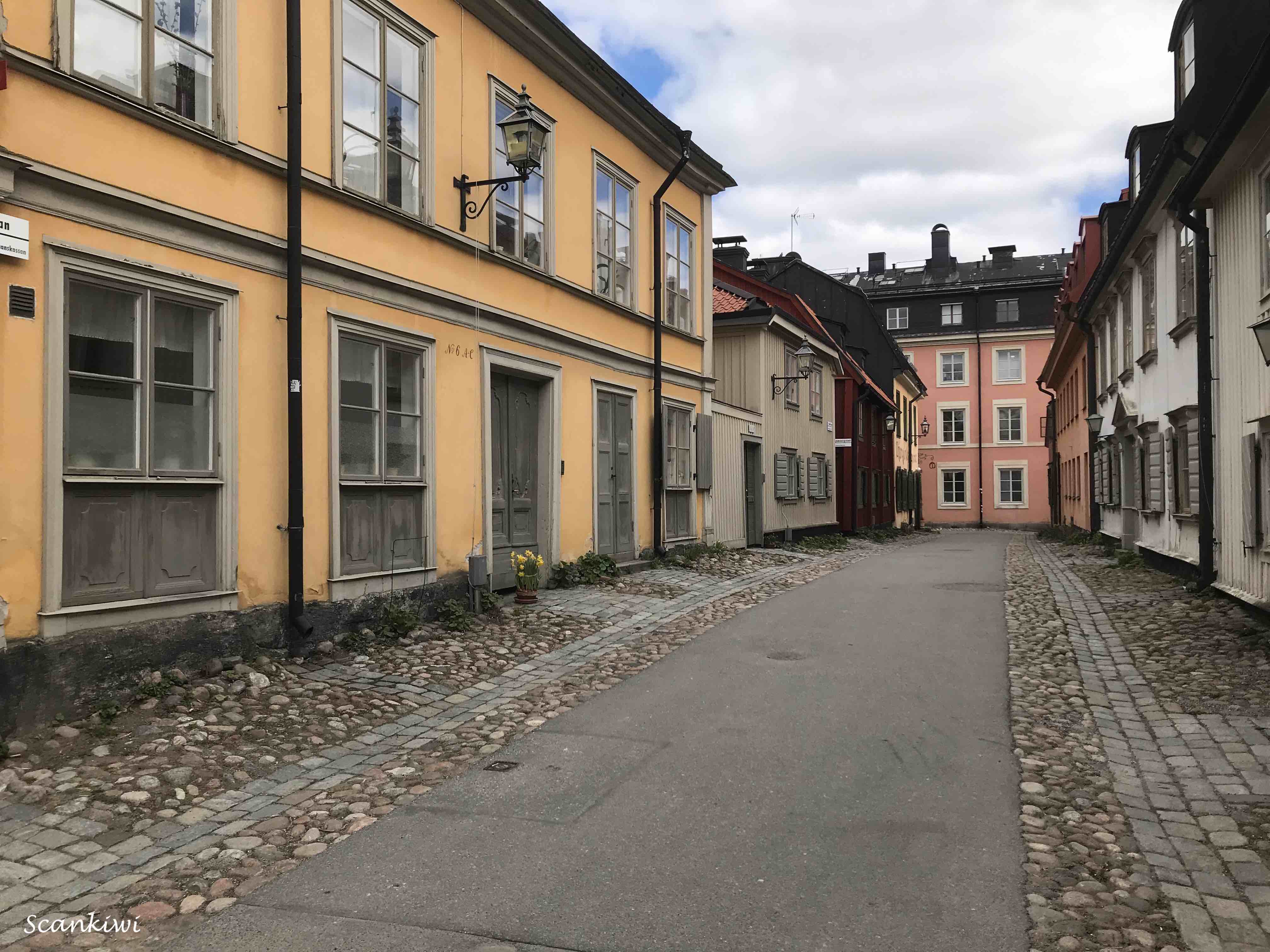
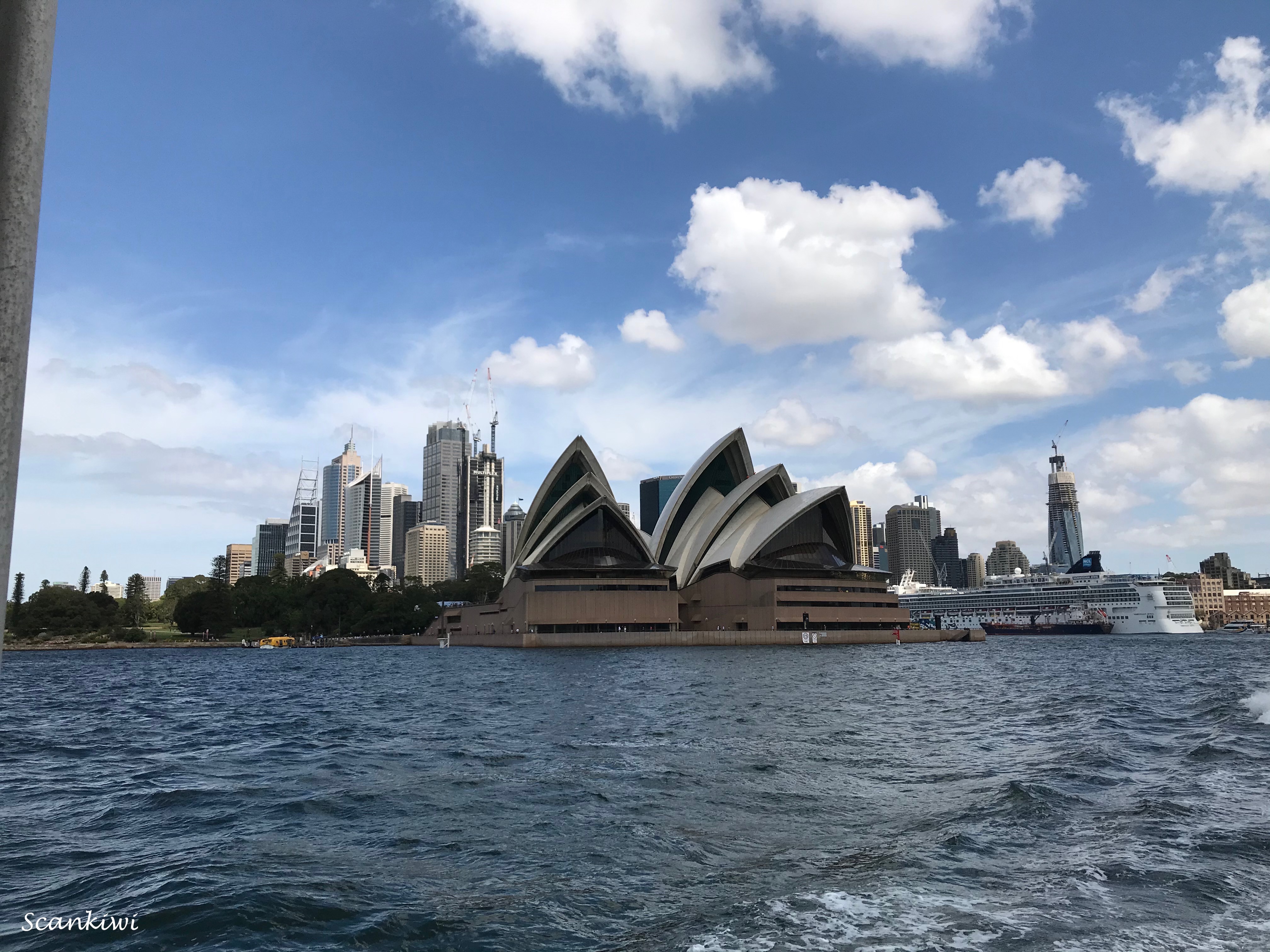
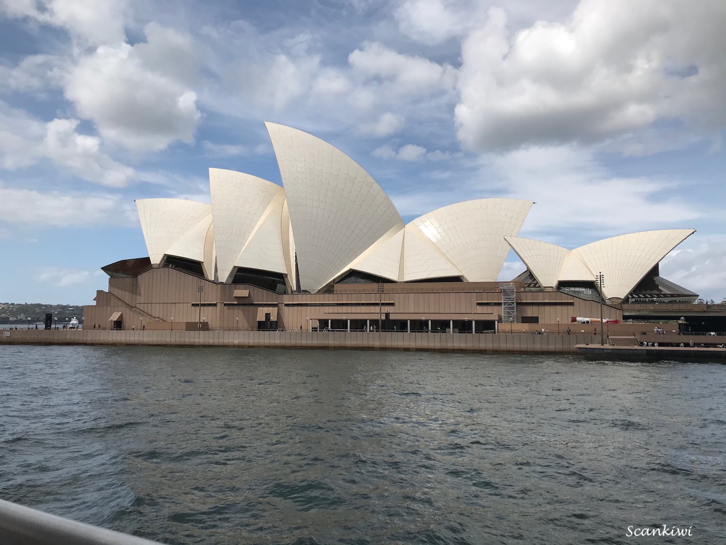
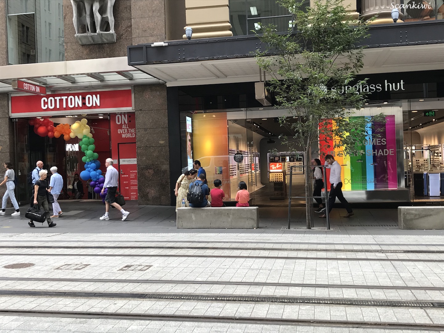
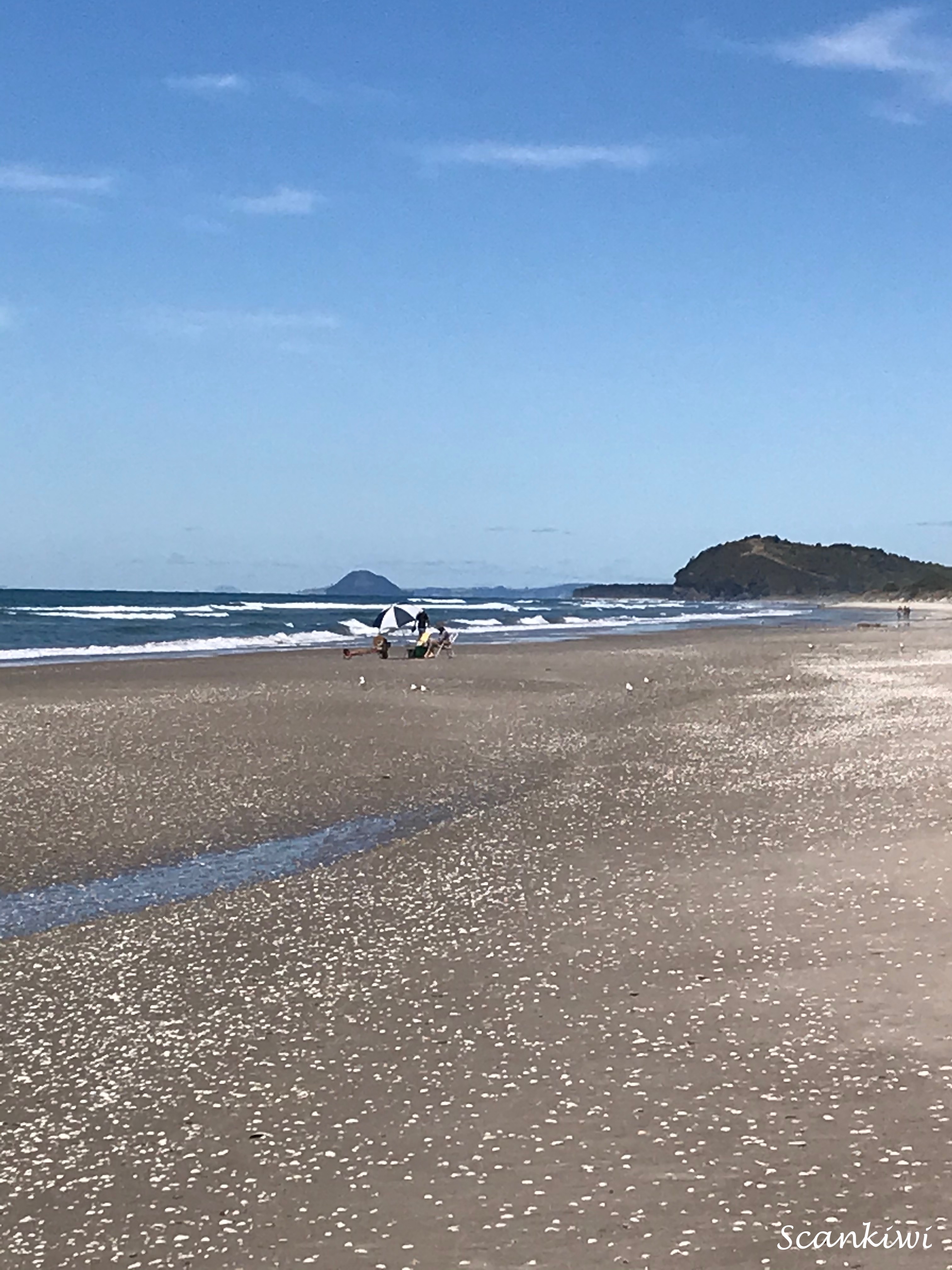
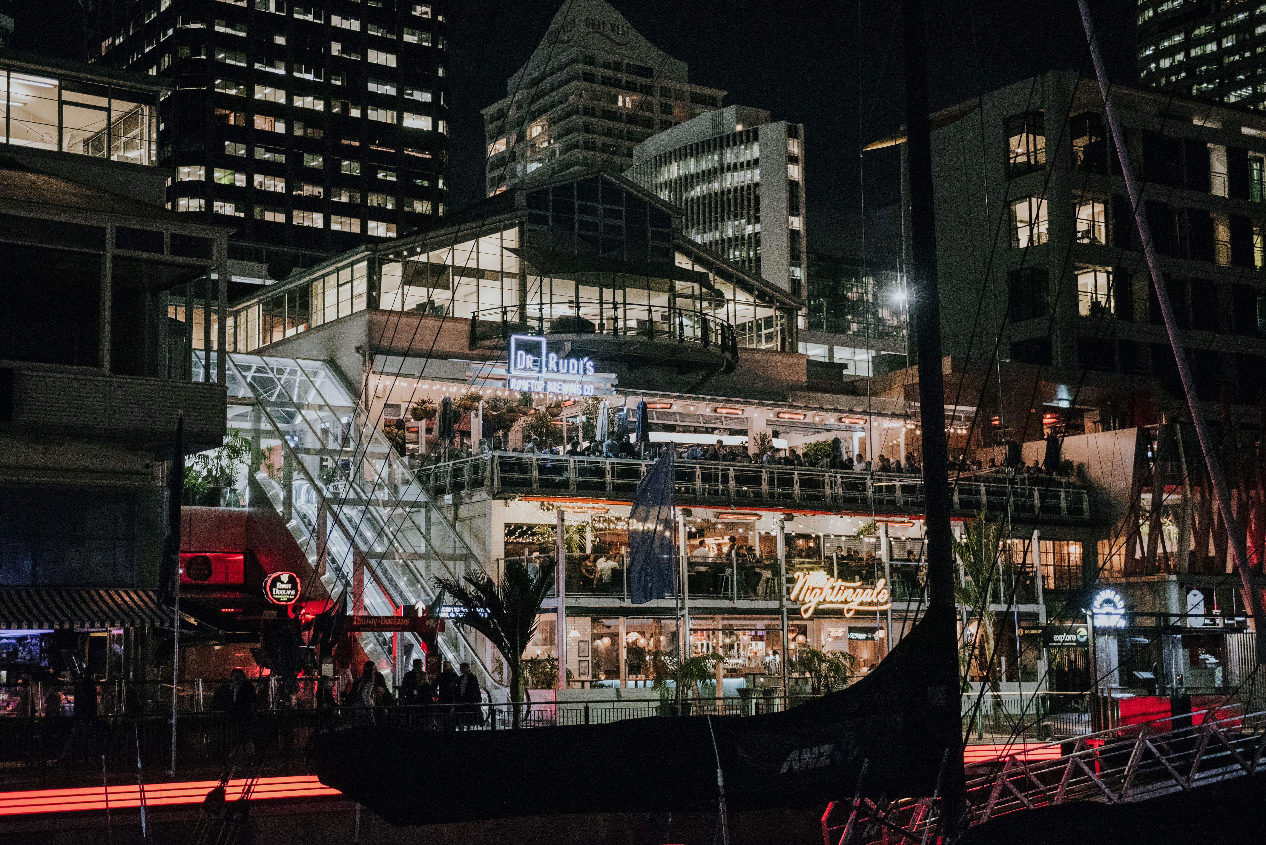
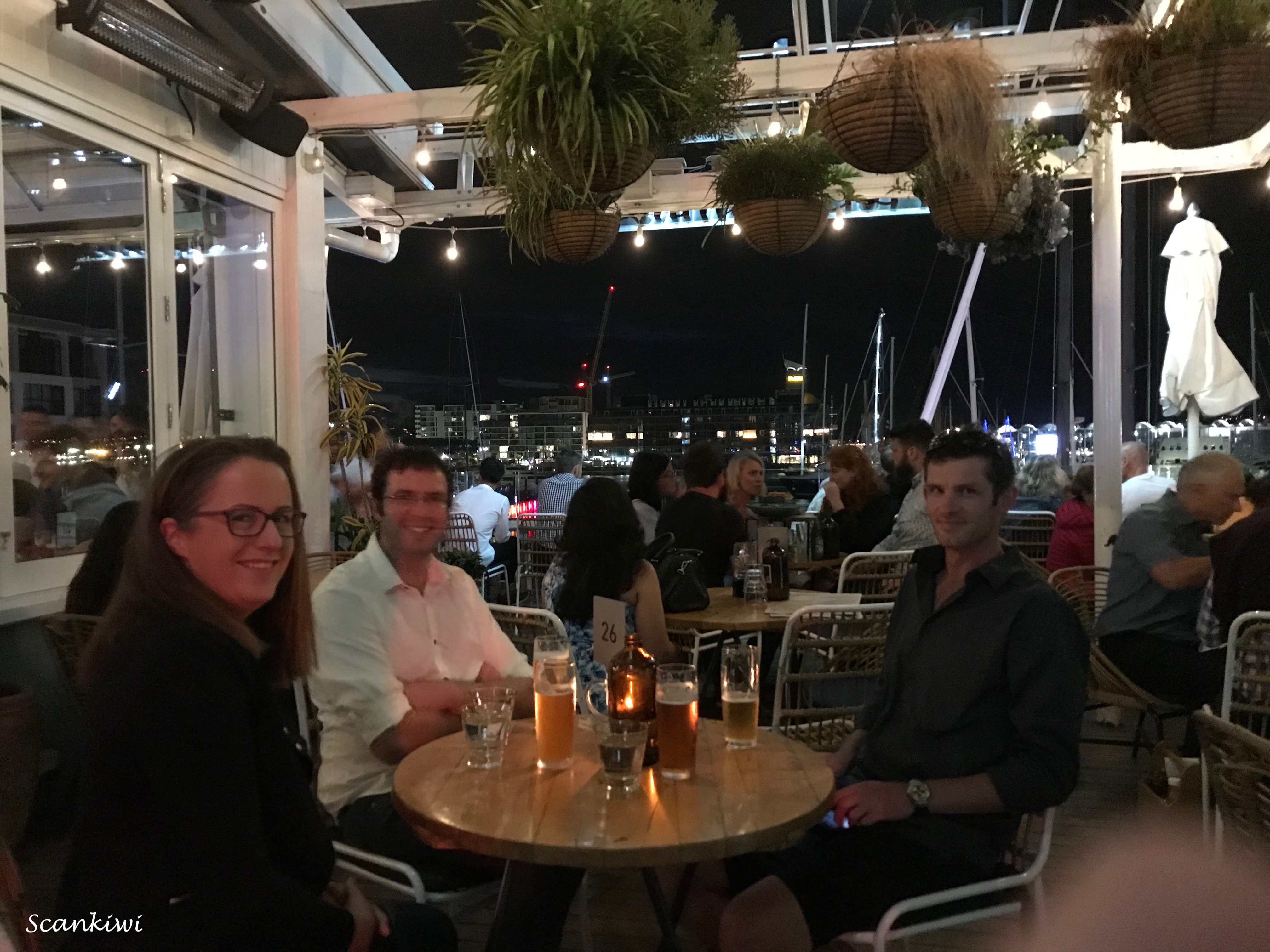
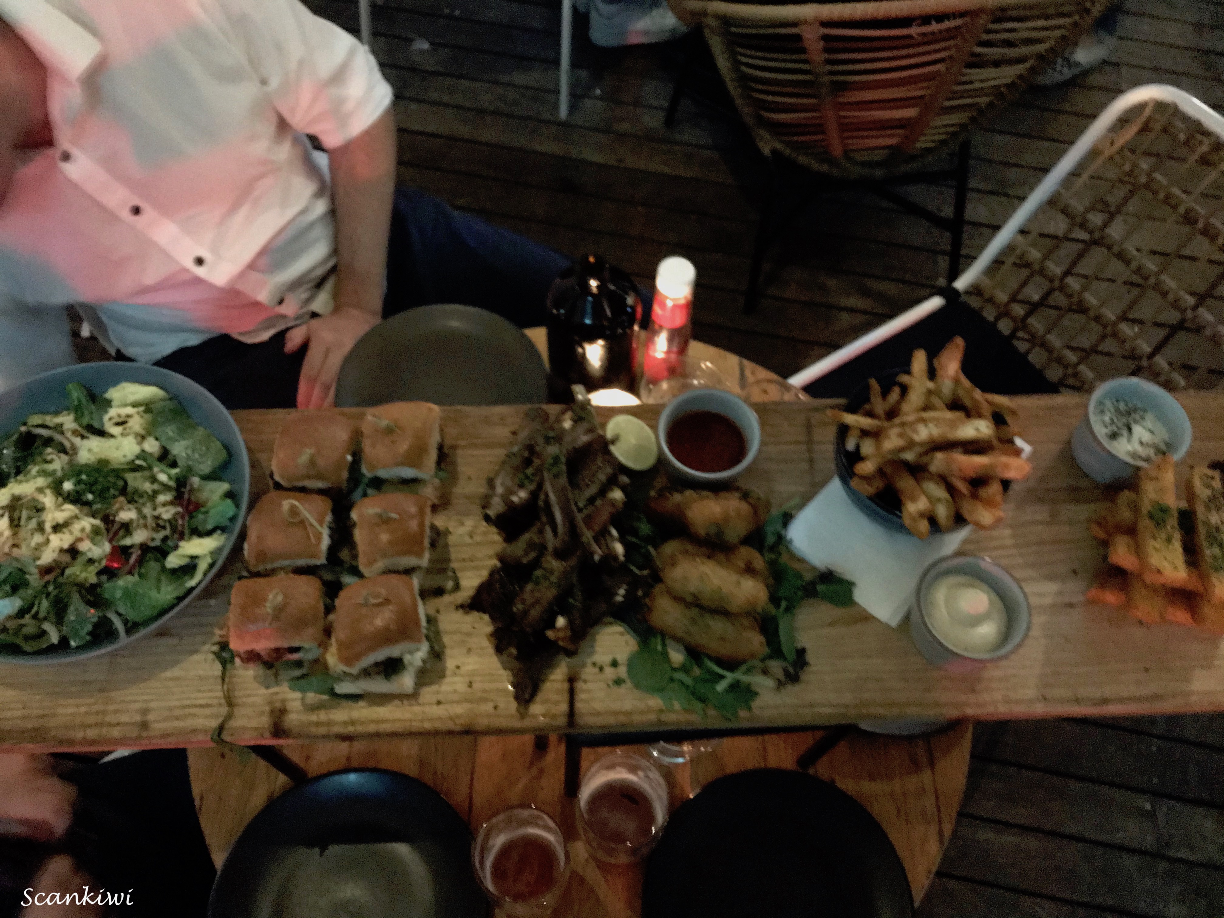
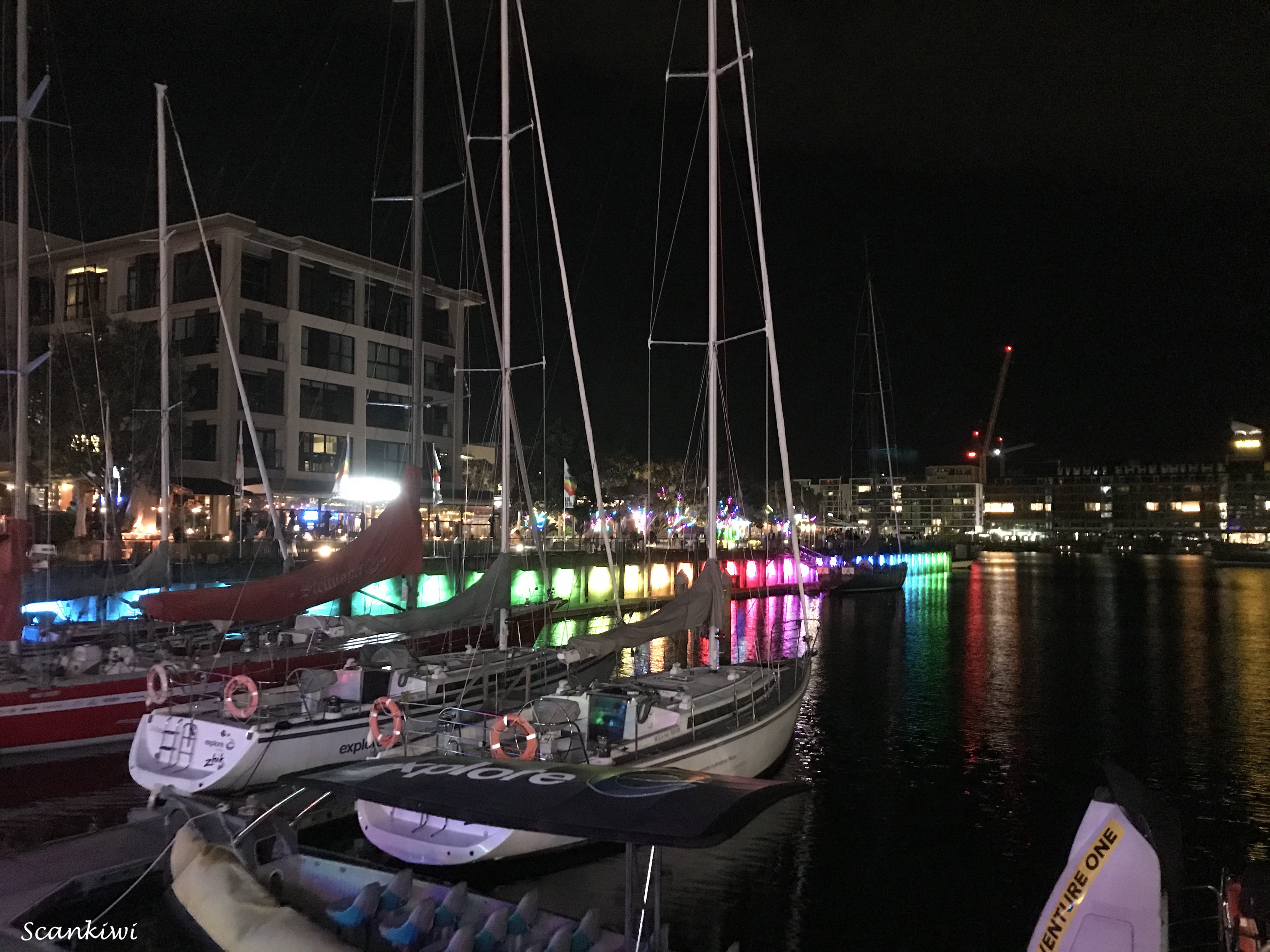
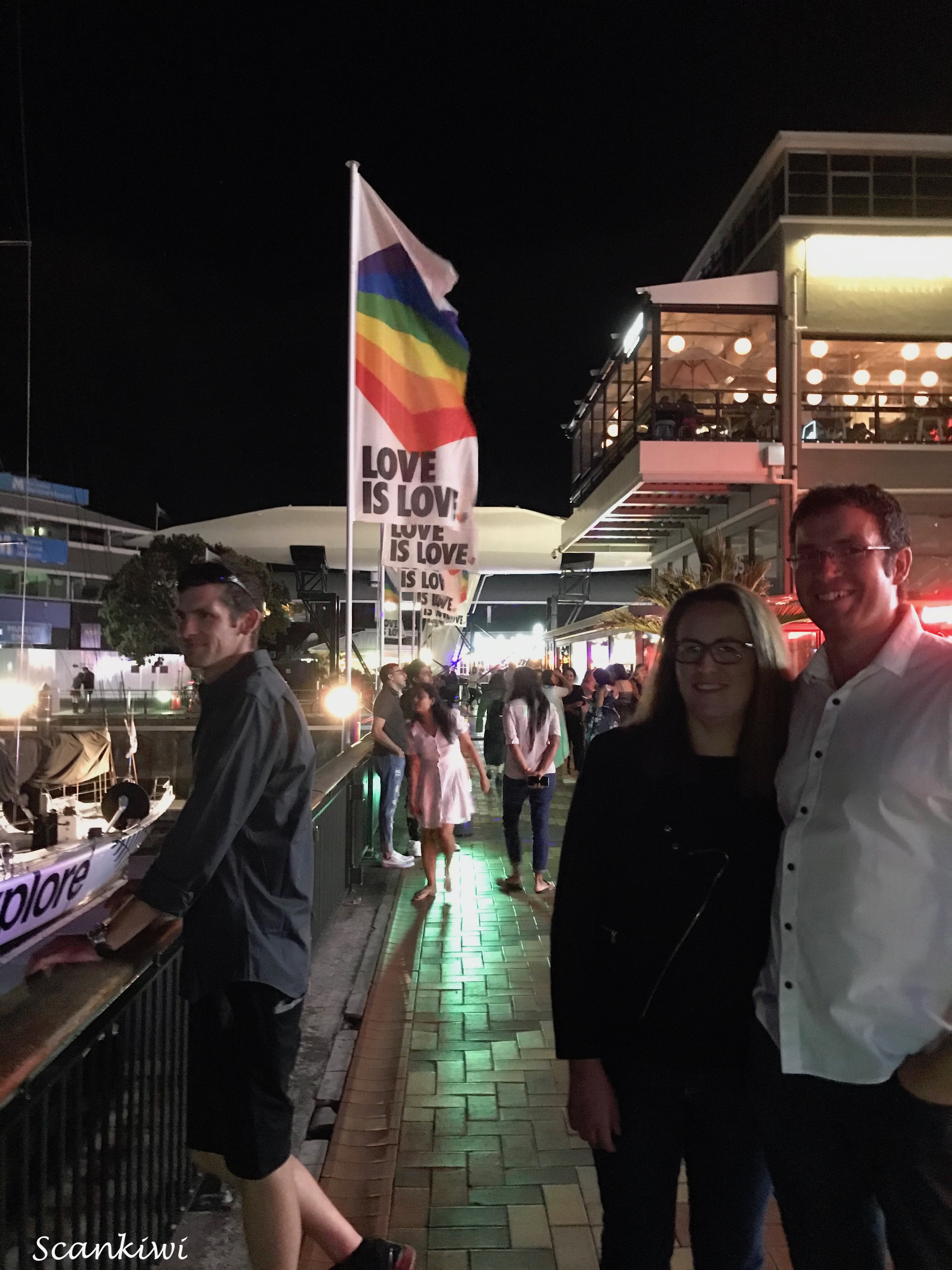
April saw my chance to test how life would be after 2 years of restrictions and the restart of Culture Night in Stockholm after being absent for 3 years as both the events of 2020 & 2021 were cancelled. This was my first trip to a public occasion on public transport. Taking the high speed train to Stockholm and the 4 hour journey some how just didn’t feel right and it was a mixed bag of feelings with scary, uncomfortable, ant the feeling I was doing something wrong.
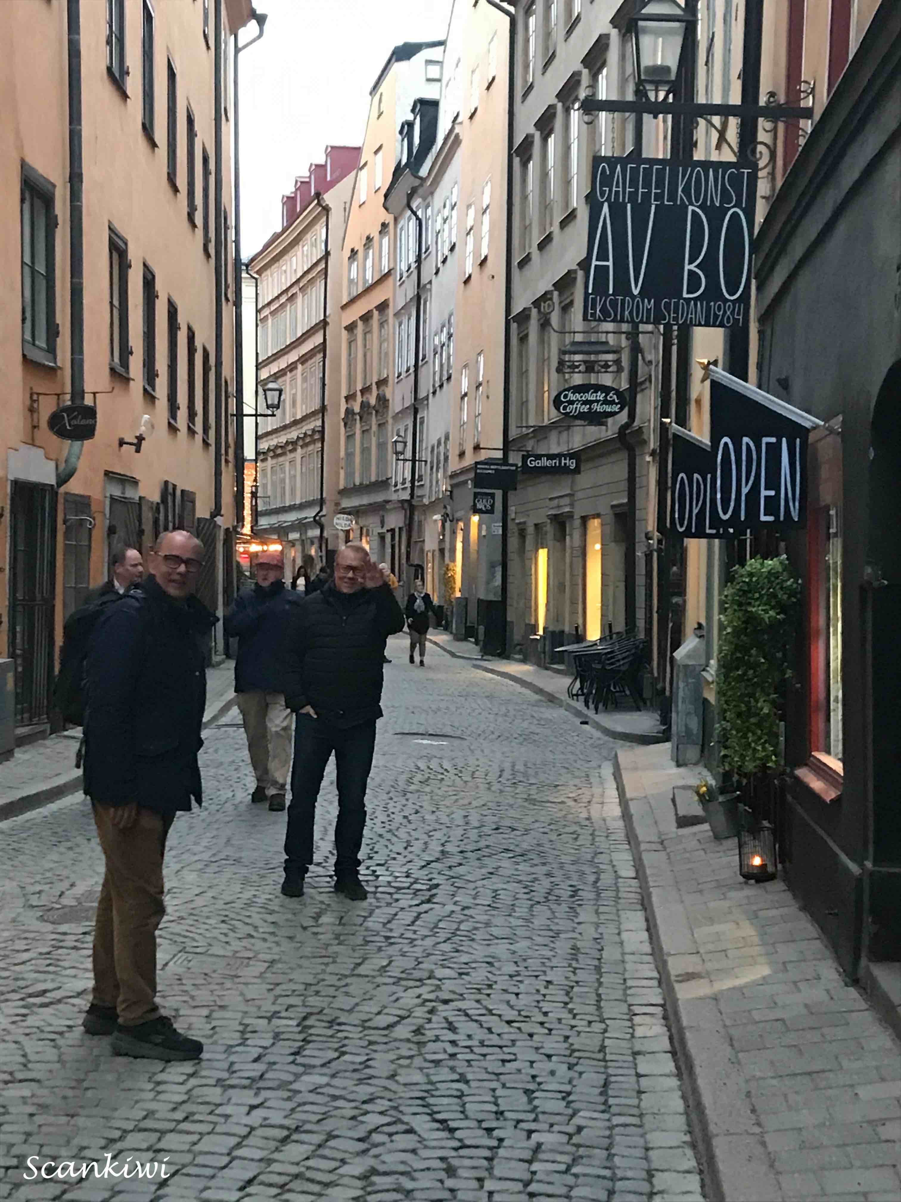
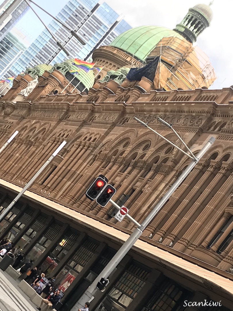
Culture night in Stockholm is an evening when cultural institutions, galleries, theatres, museums, libraries and more, open their doors to the public free of charge between 6 pm & midnight. Thousands flood the streets traversing the city and taking the opportunity to see what they may not normally take the time to see. For some institutions it is the only time of the year they are open to the public. I attended Culture Night for the first time in 2017. Last time in 2019 we visited Djurgården and Gamla Stan (Old City) visiting Skansen, the Nordic Museum, Storkyrkan (Stockholm Cathedral) and Stockholm Palace. This time the program included Stadsmuseet (Stockholm City Museum), Kungliga Operan (Royal Opera House), Medeltidsmuseet (Stockholm Medieval Museum) & Riksdagshuset (Swedish Parliament). Once again my friend and eminent Stockholm Guide Stefan Bognäs had laid on an excellent tour of the city’s secrets with a wealthy of background information and history.
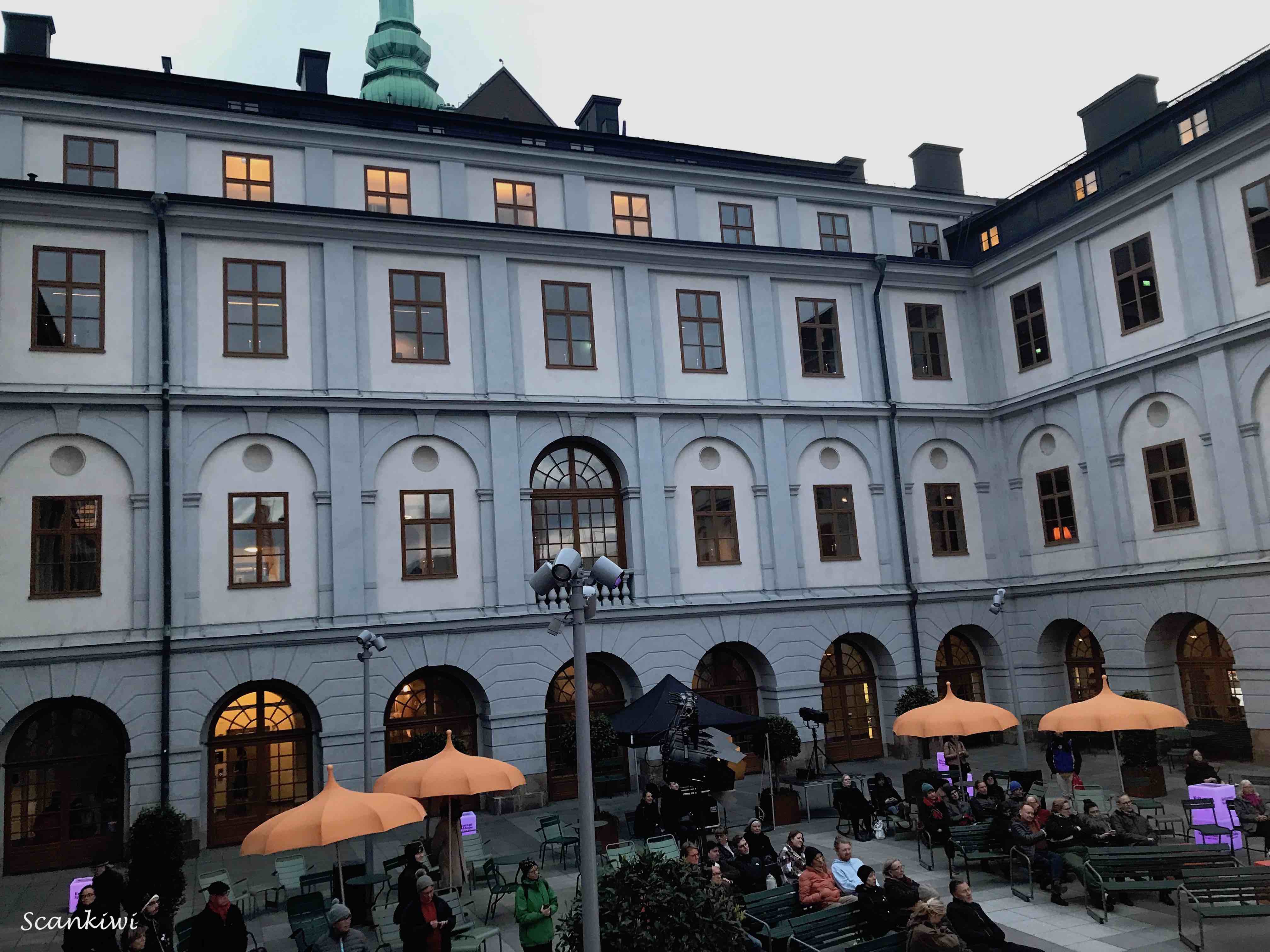
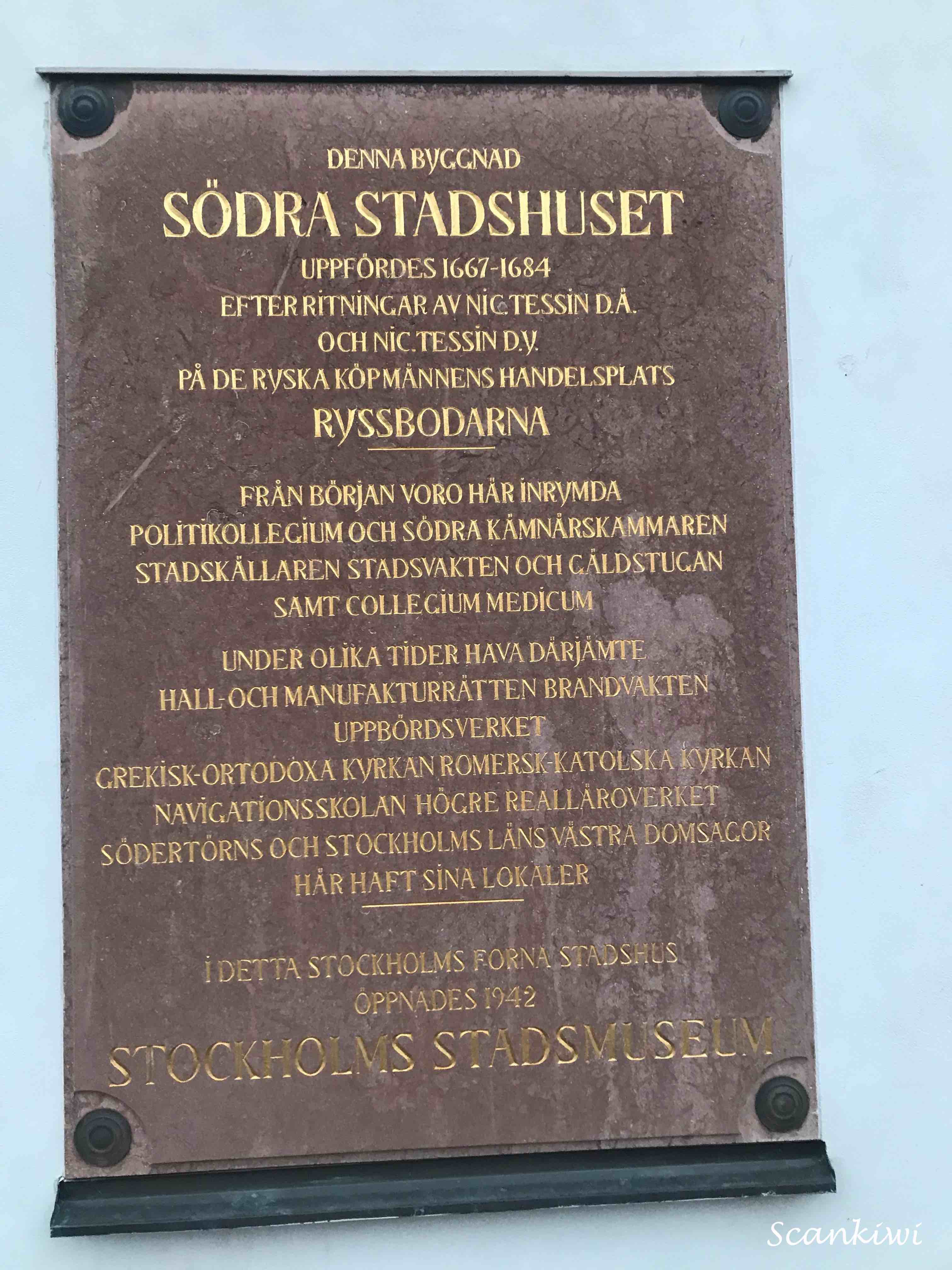
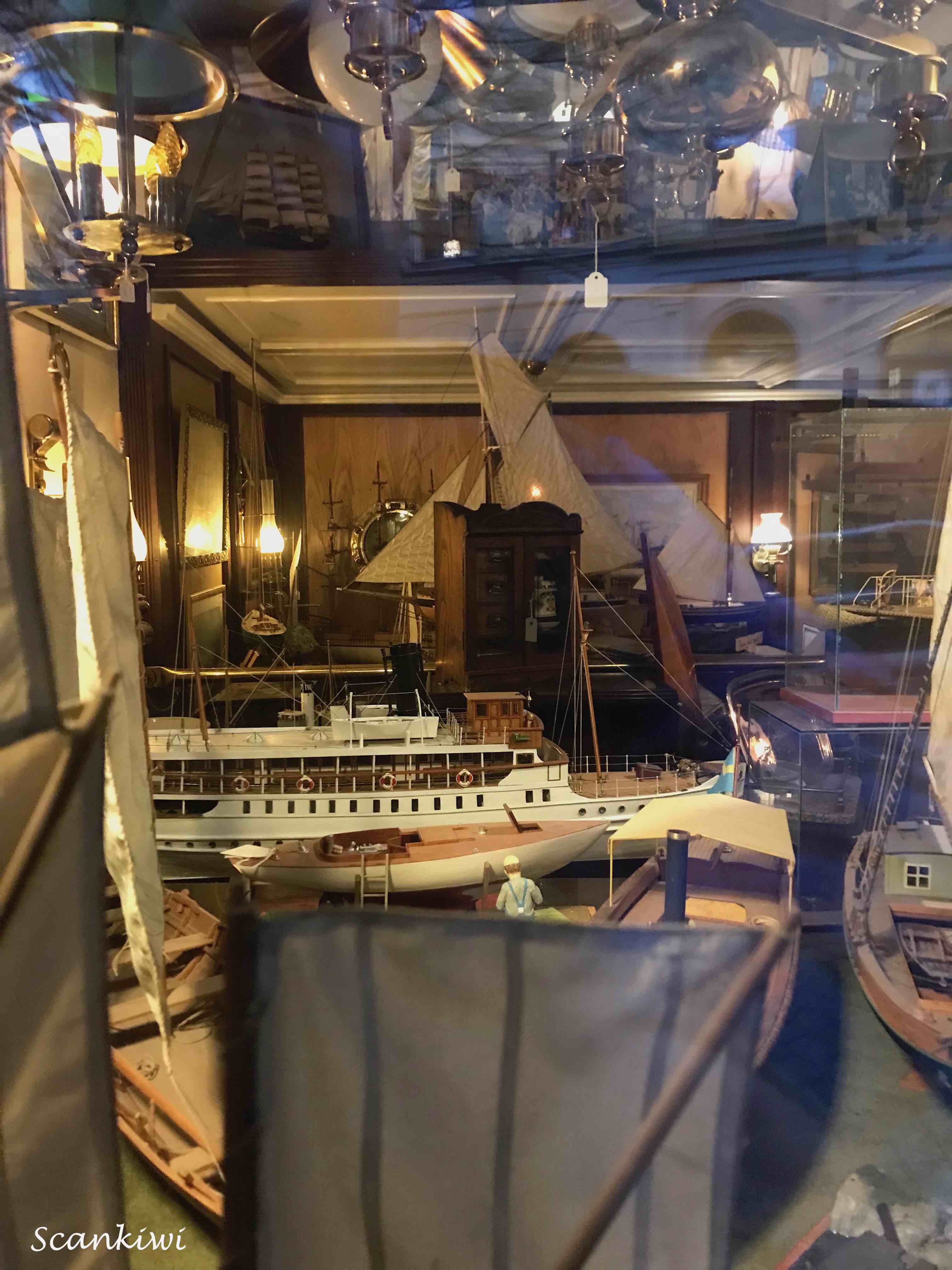
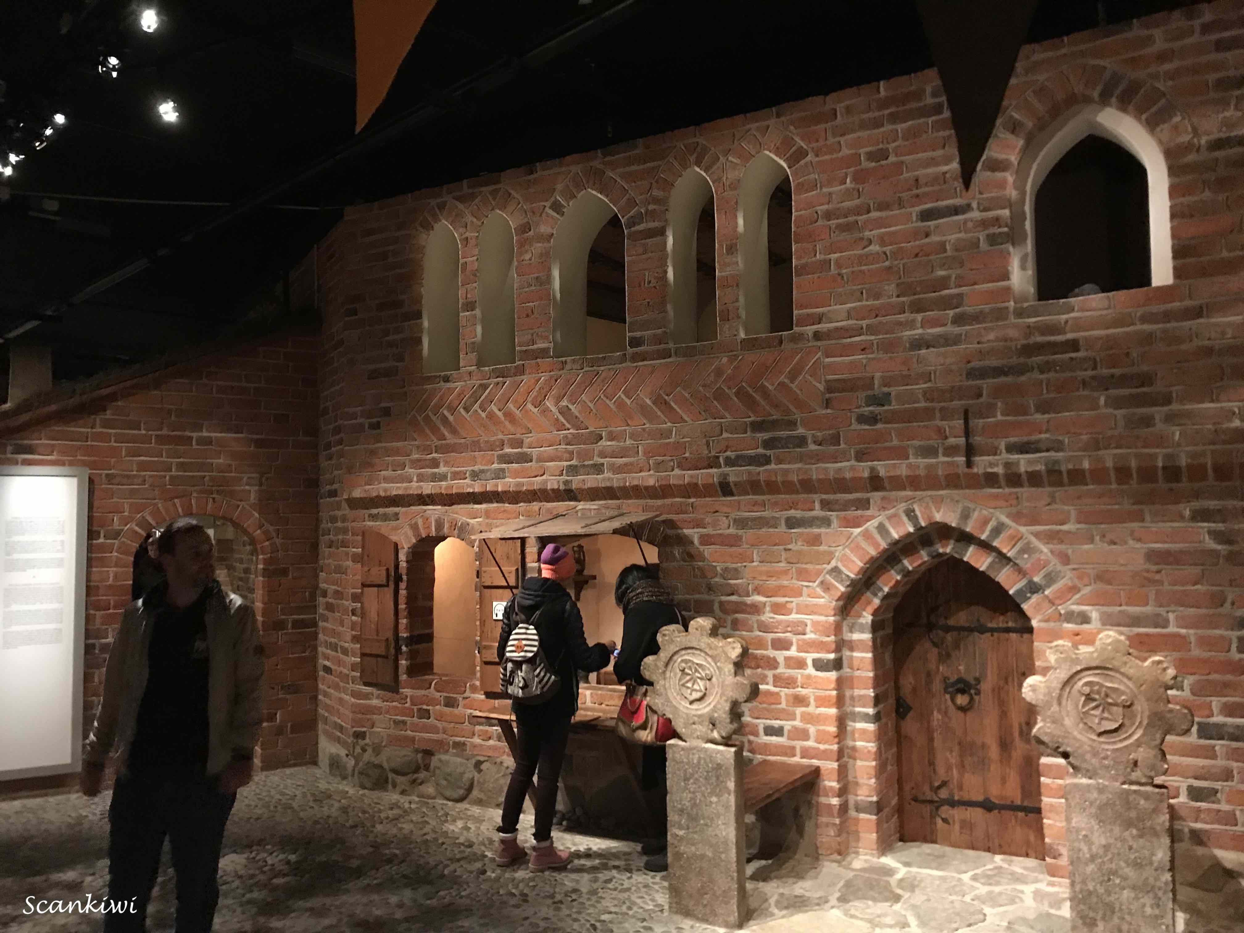
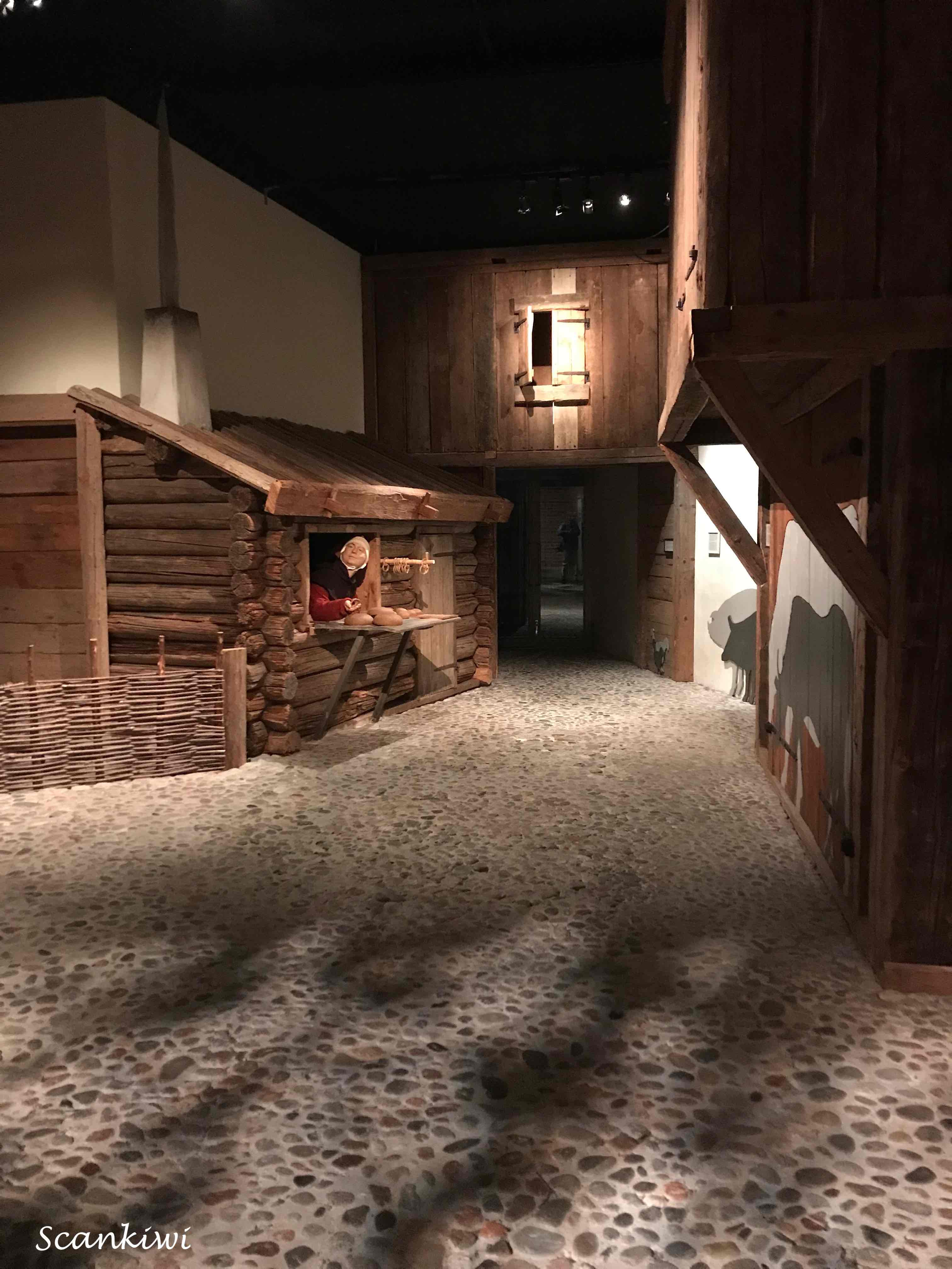
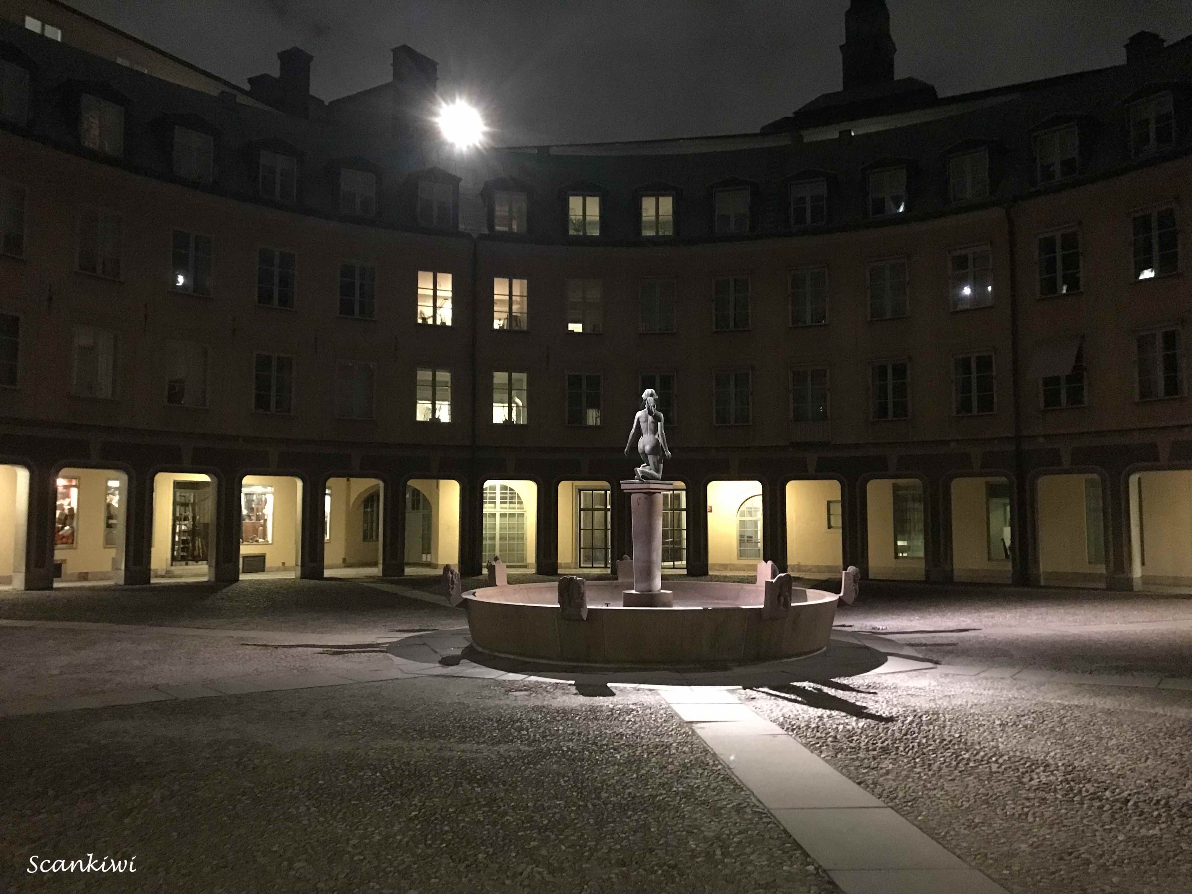
First stop of the 2022 culture night was the Stadsmuseet (City Museum). It is a dedicated to documenting, preserving and exhibiting the history of Stockholm. The museum is located at Slussen on the island of Södermalm. It contains some 300 000 items, 25 000 artworks och 3,5 million photographs of Stockholm through the ages. The Museum is divided up into different time periods in Stockholm’s history from the dark ages to modern times. An early evening wander through the different eras of Stockholm’s development. The building was designed by the then city architect Nicodemus Tessin the older and completed in 1663, Nicodemus Tessin the older was known for also designing the beautiful Drottningholm palace and Skokloster castle on the outskirts of Stockholm. He was father to Nicodemus Tessin the younger who was the architect the new Stockholm Castle after the previous palace (Tre Kronor) burnt down. The square in front of the museum was previously known as the Ryssegården (The Russian Farm). On the site were warehouses for Russian exports 1641–1820. In the middle of the 1650s, there were no less than 74 huts, a sauna and a church for the Russian merchants.
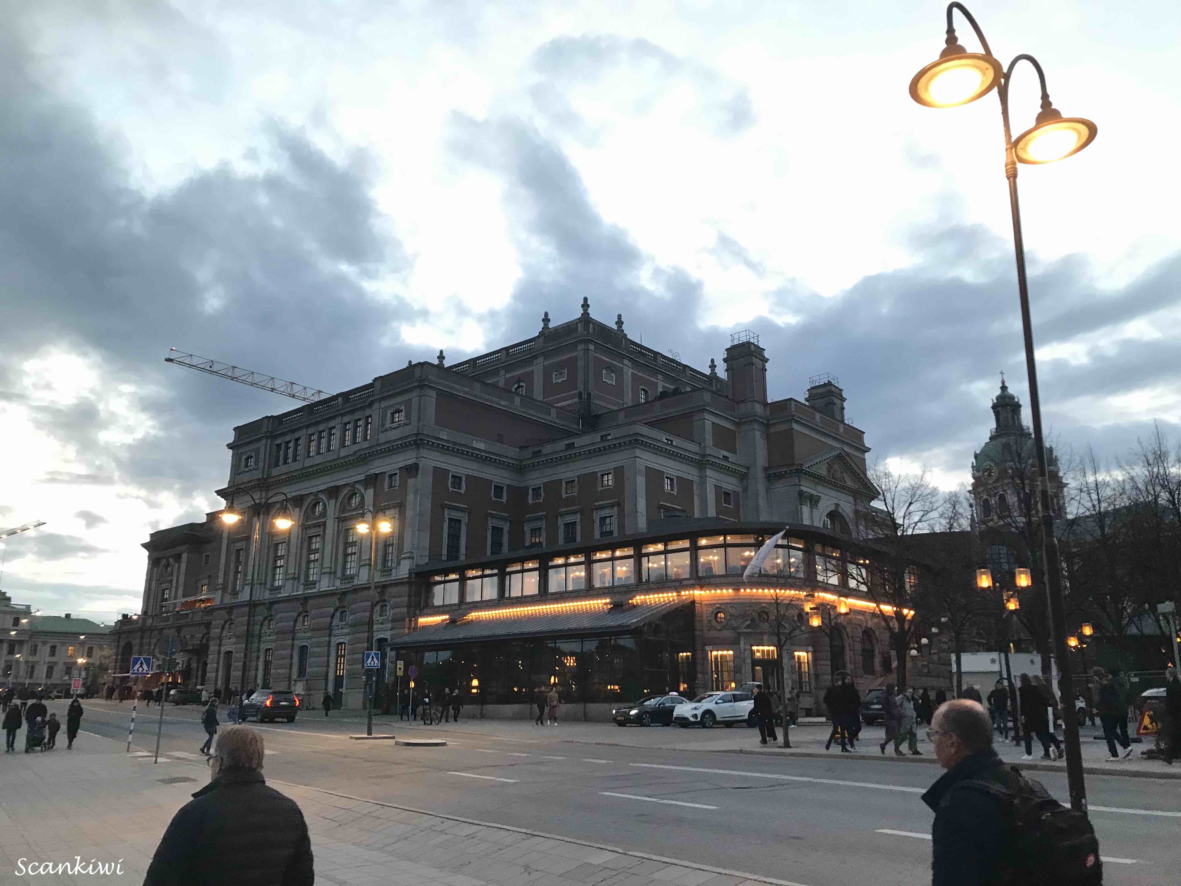
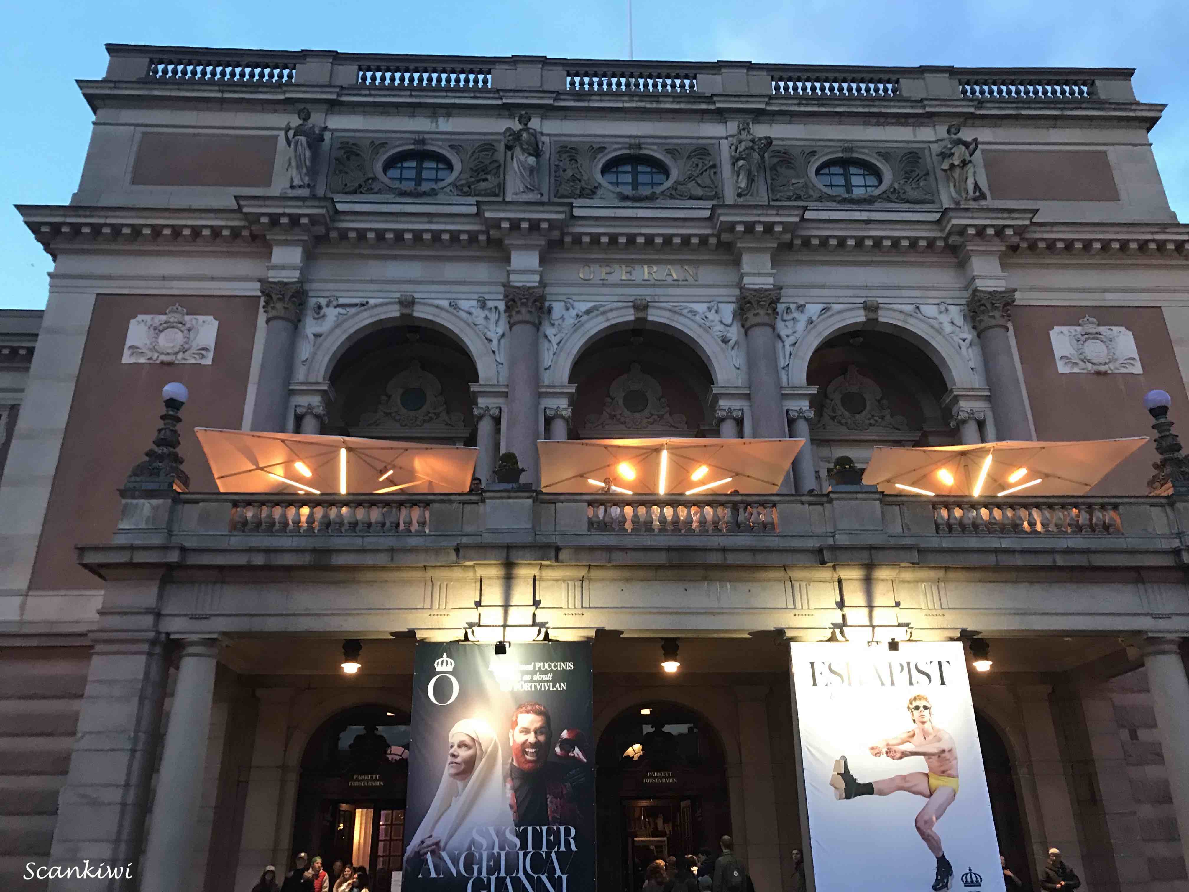
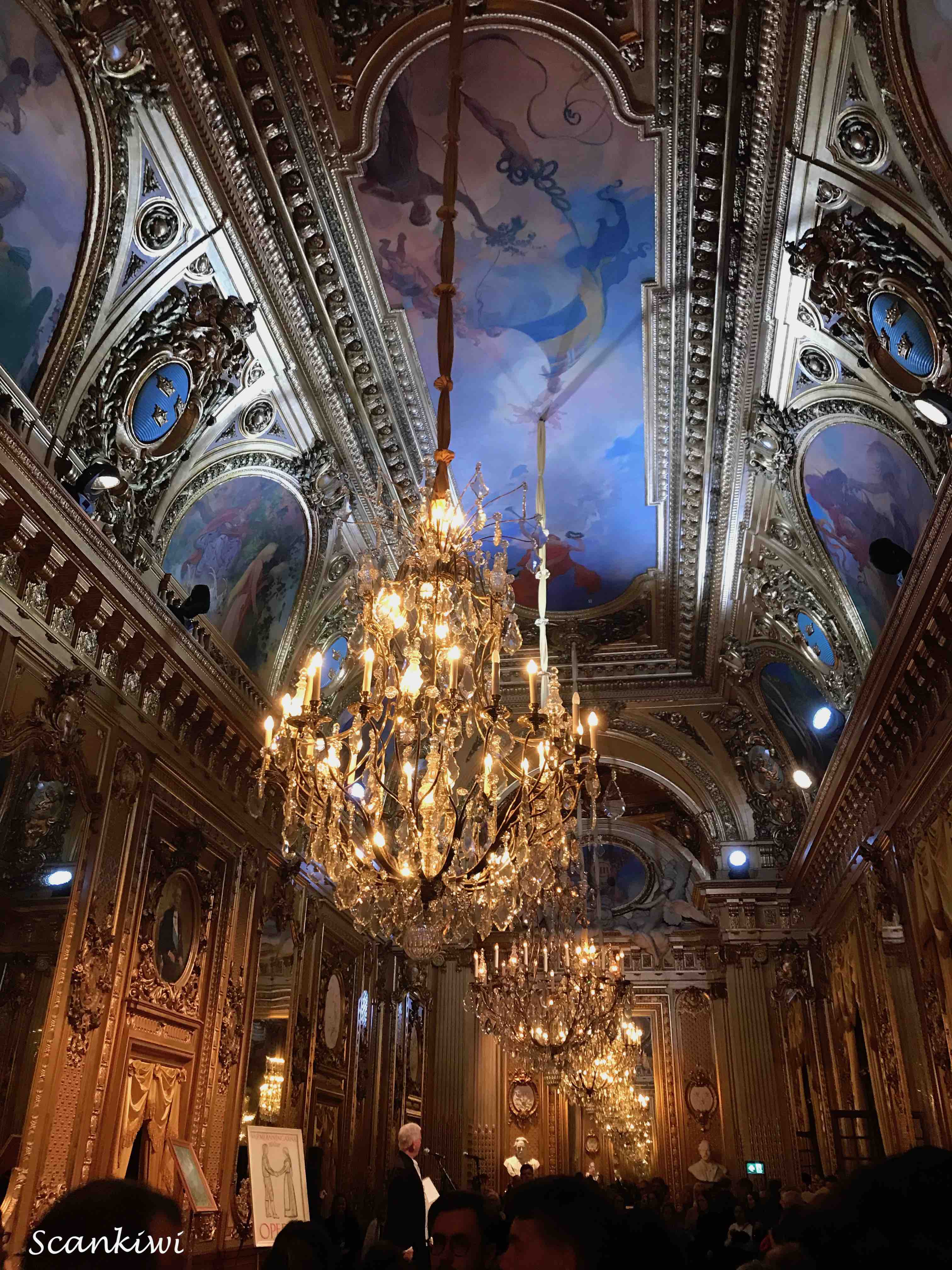
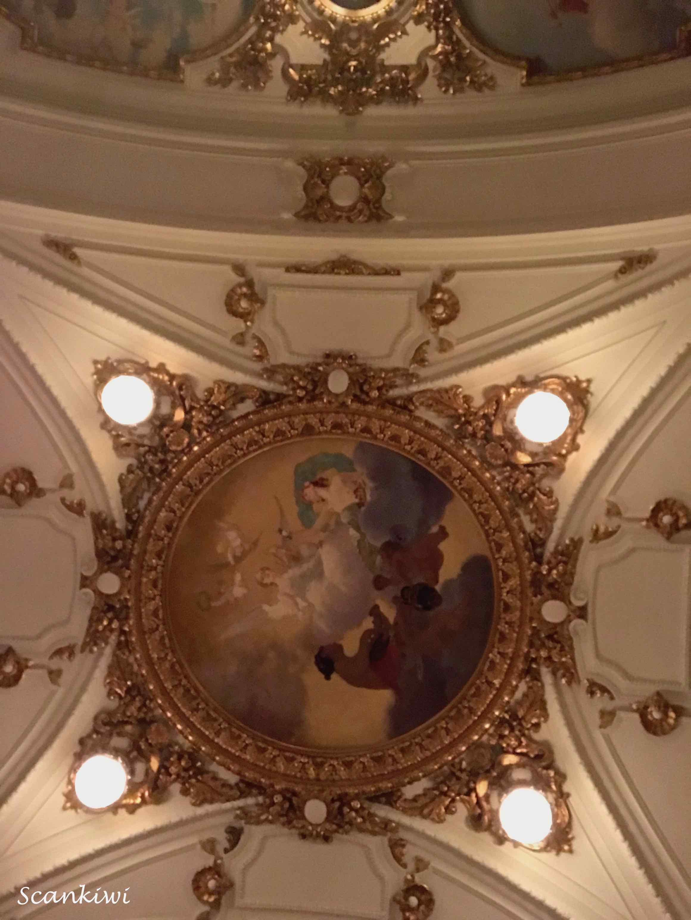
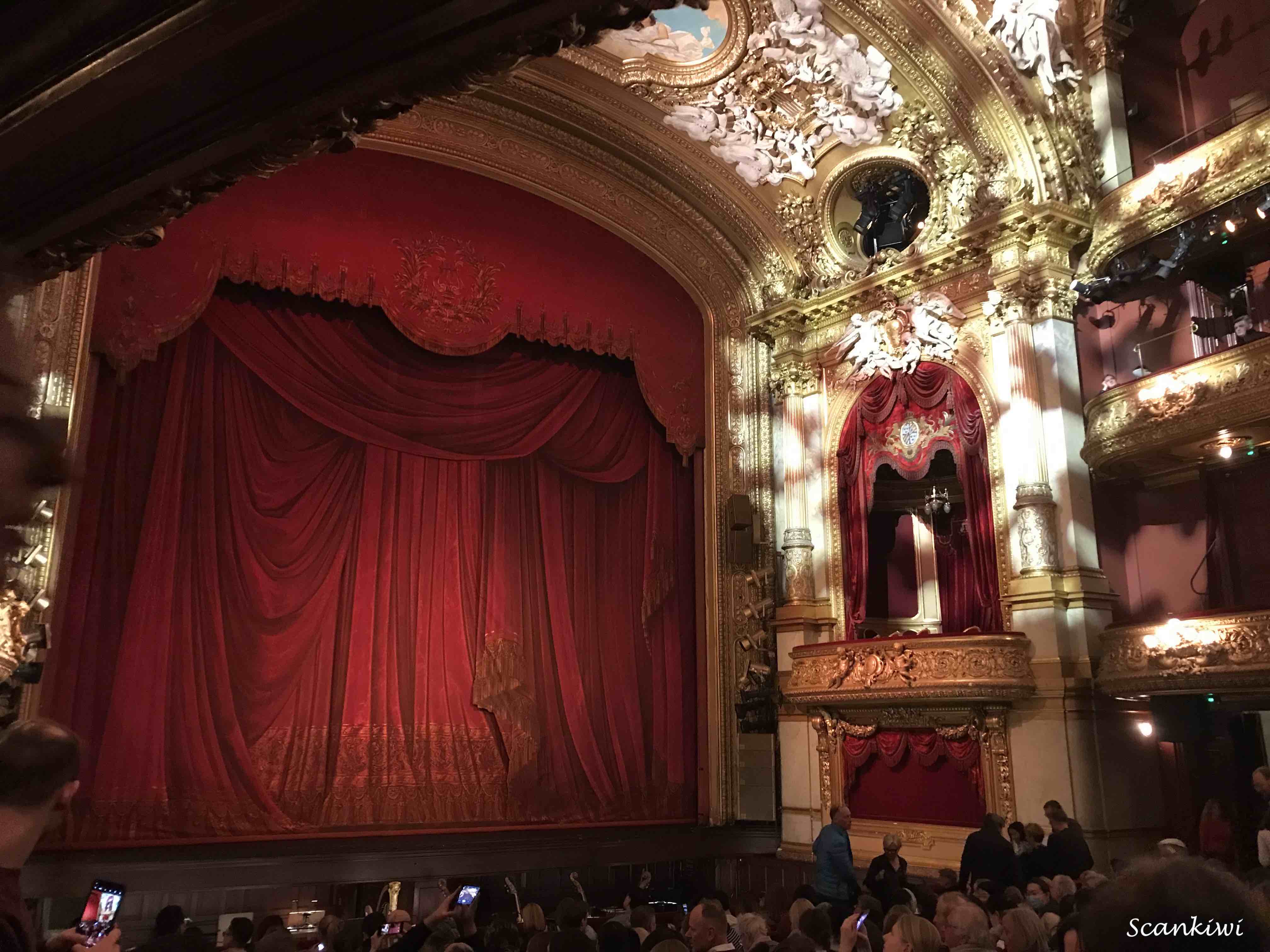
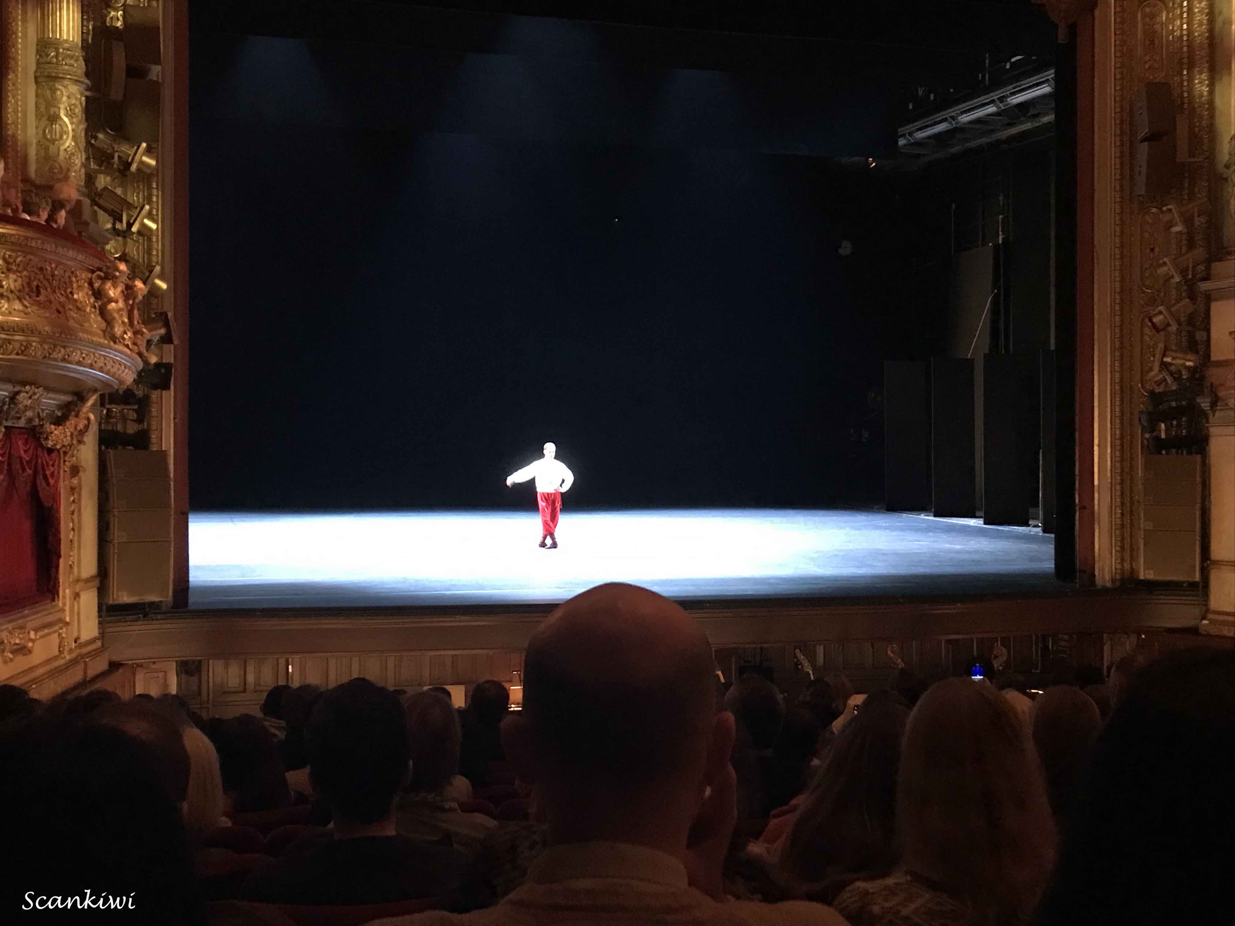
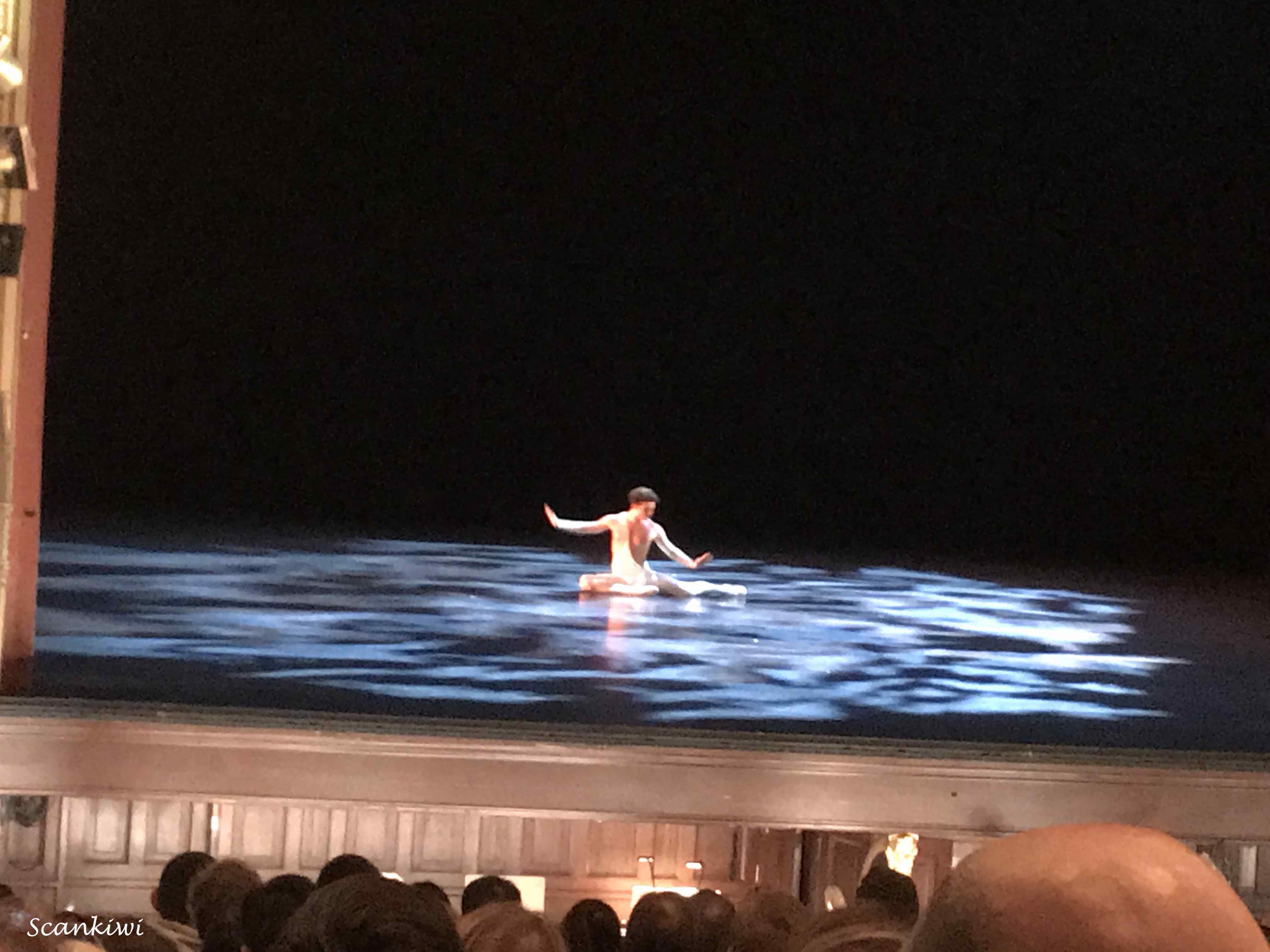
After a wander through the Old City of Stockholm (Gamla Stan) we arrived at our next stop, The Royal Swedish Opera (Kungliga Operan). Sweden’s national theatre for opera and ballet. It has served in that role since January 18, 1773, when the first performance was given after an initiative from King Gustav III (1742-1792). The original opera house on the site opened in 1782. During the 1800s, the Opera House was considered to be one of Stockholm’s most beautiful buildings. The Gustavian opera seated 948 spectators and the auditorium was decorated in blue, white and gold. Unlike in today’s Opera House, the king’s box was located right in the middle of the Stalls Circle for the best possible view of the stage. Gustav III had a burning passion for opera, dance and theatre, and paid for the Opera’s operations from his own pocket. Barely 10 years after the inauguration, on 16 March 1792, the King was murdered in his own Opera House after being shot at a masked ball held at the opera. Verdi’s opera Un Ballo in Maschera is based on this terrible event. The Gustavian Opera House stood for another hundred years after the death of the king, but the building was so badly dilapidated, so outdated, and became such a fire hazard, that a decision was made to demolish it in 1892. In its place, the city built a new Opera House called The Oscarian. It was named after the then reigning monarch Oscar II. The exterior of the new building was built in a neo-Renaissance style, while the staircase, foyer and auditorium were designed in the neo-Baroque style. The magnificent Guldfoajé (Golden Foyer), with ceiling paintings by Carl Larsson, is reminiscent of the Palais Garnier in Paris. In 1989, after nearly 100 years of serving as an opera building, the Opera underwent a major renovation. At that time, all public areas in the building were washed, painted, re-gilded and repaired, from the main entrance to the opera auditorium. There are around 1,100 seats in the Royal Swedish Opera’s auditorium, which has a chandelier weighing two tonnes hanging from the ceiling. The ceiling also features a large plafond painting by artist Vicke Andrén. If you look closely, you can see that one of the little angels is carrying a sheet of paper with an architectural drawing of precisely the Opera House over whose audience the angel is floating. While visiting the Opera we got to sample 3 short ballets followed by a little champagne on the terrace before heading to the next stop.
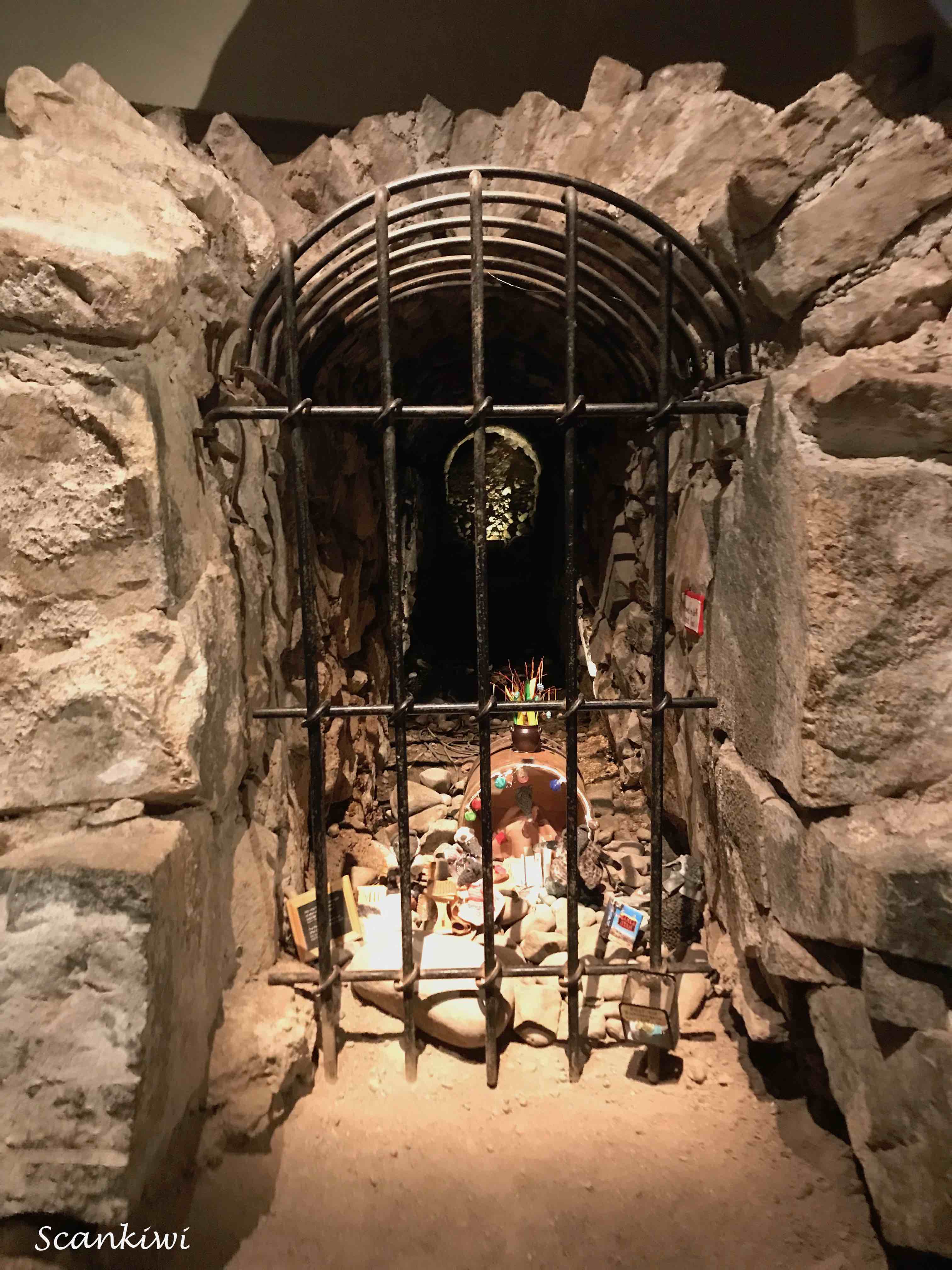
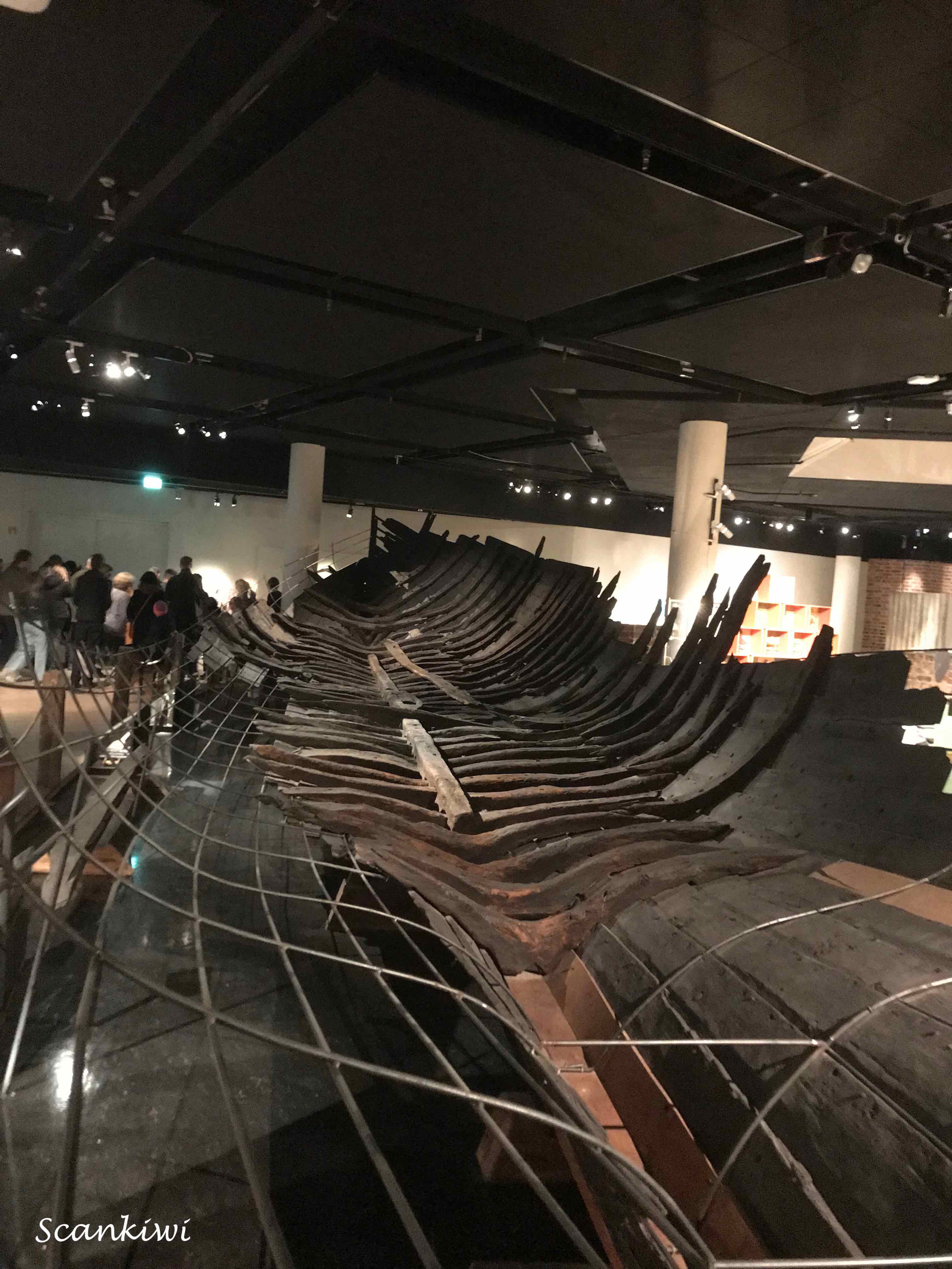
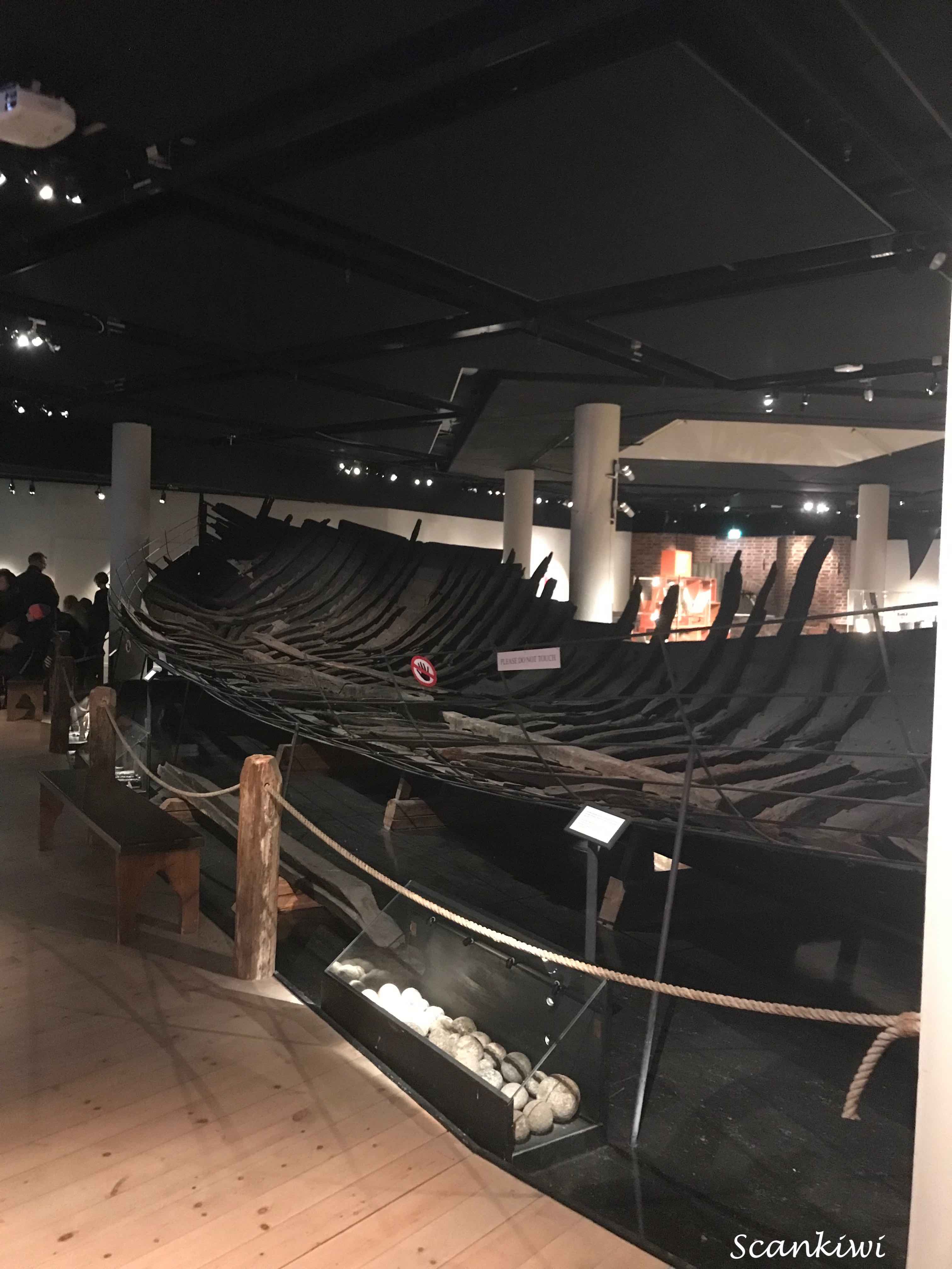
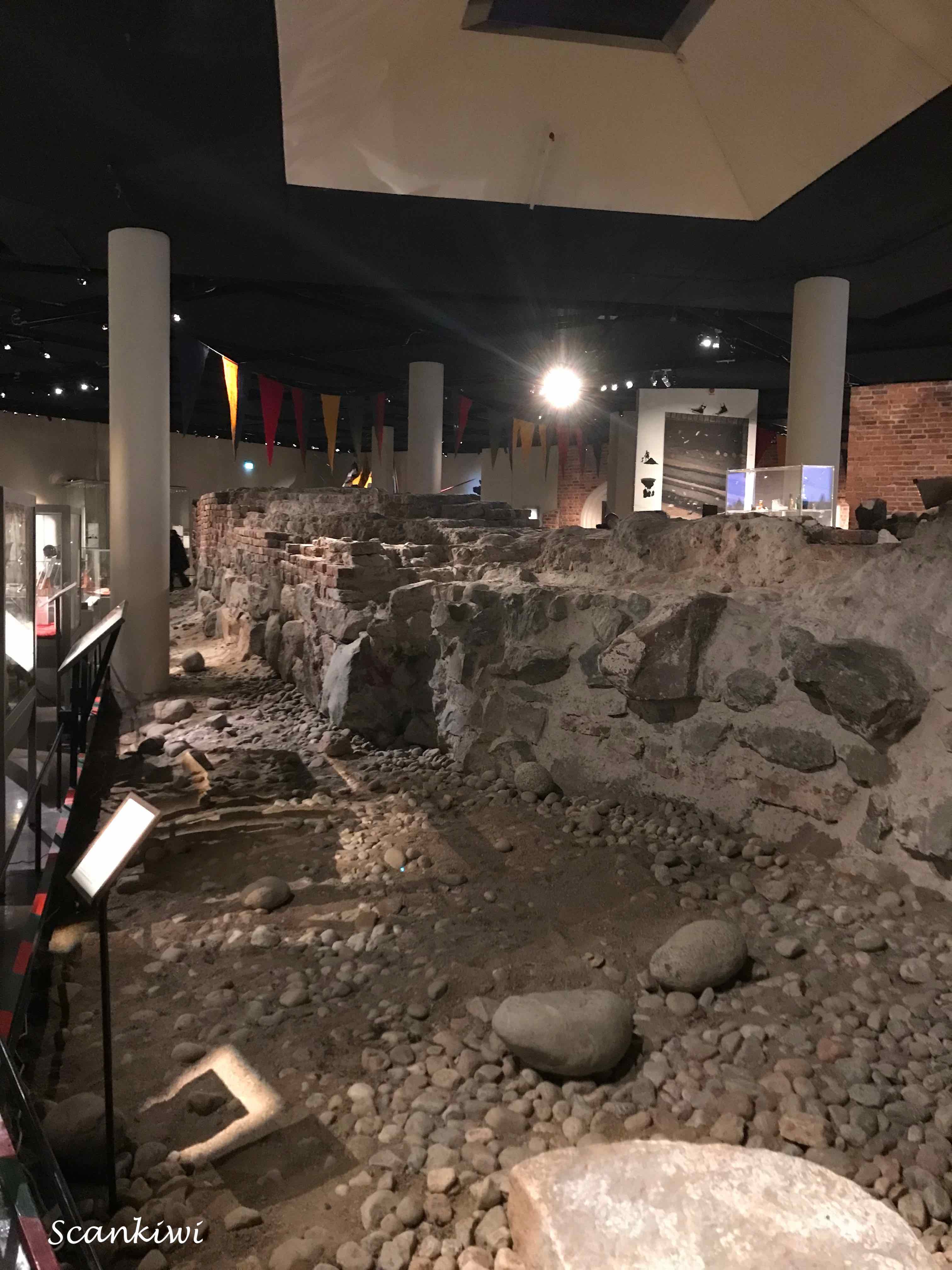
Next stop the Medieval Museum (Medeltidsmuseet) on Helgeandsholmen under the Swedish Parliament (Riksdag). The museum came into existence after a major archaeological investigation which took place in advance of the rebuilding of the Swedish Parliament (Riksdag). Altogether an area of 8,000 square metres was investigated and when the project was completed a volume of some 50,000 metres of earth had been dug through and carried away. The excavations made it possible to follow the development of settlement in the area from the mid thirteenth century to the present day. Most eye catching were the foundations of buildings, above all from seventeenth century palaces. Among the most remarkable finds were the medieval churchyard of Helgeandhuset with some 7 metric tons of skeletons, and Gustav Vasa’s town wall from around 1530. No less than 11 boats were also found. The was also a tunnel from the Royal Palace to the site which Kings frequently used on night manoeuvrers when they wanted to be incognito. The excavations aroused great attention and debate in the press and were soon christened “Riksgropen” (the National Pit). Fantastic museum.
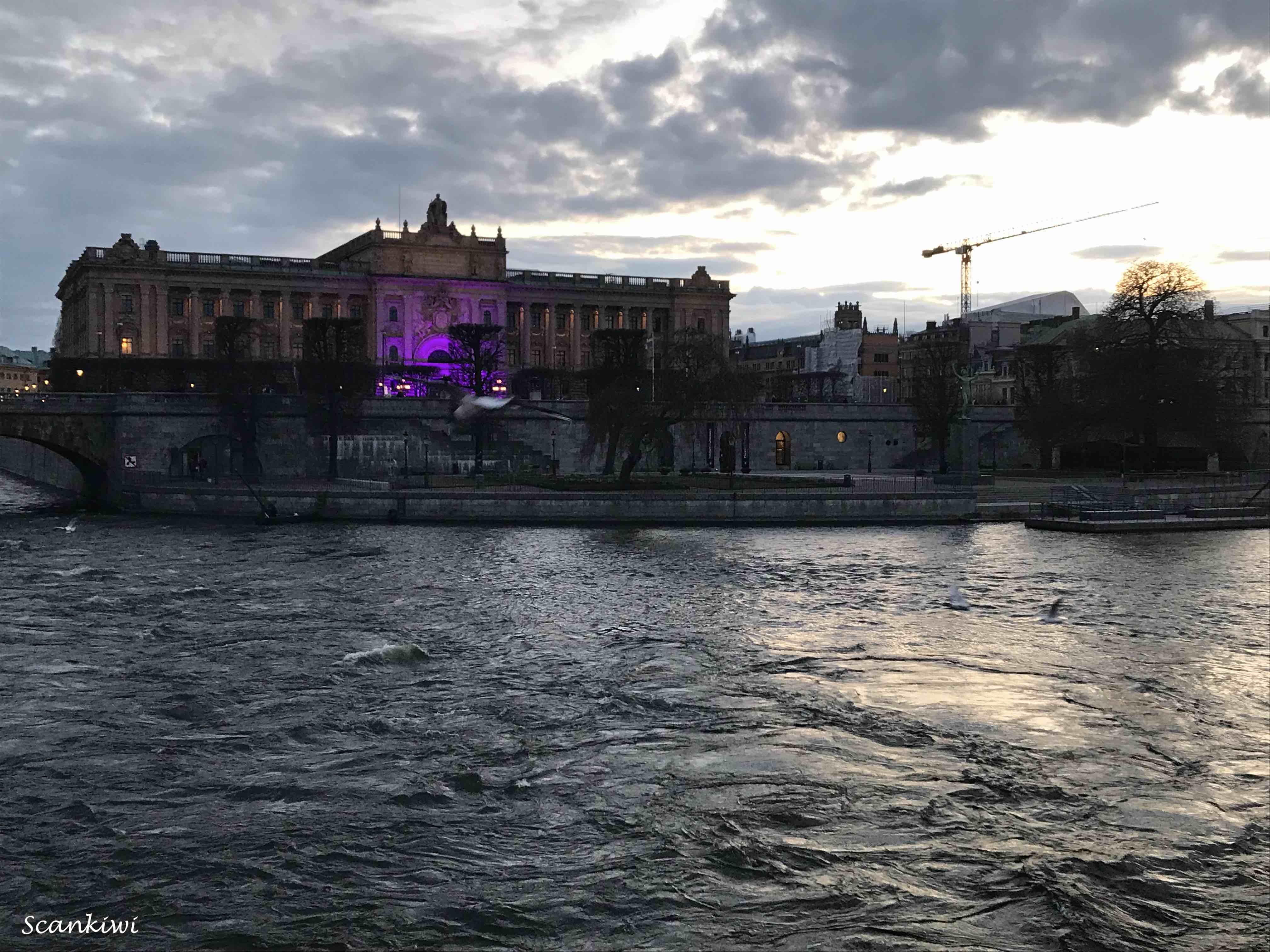


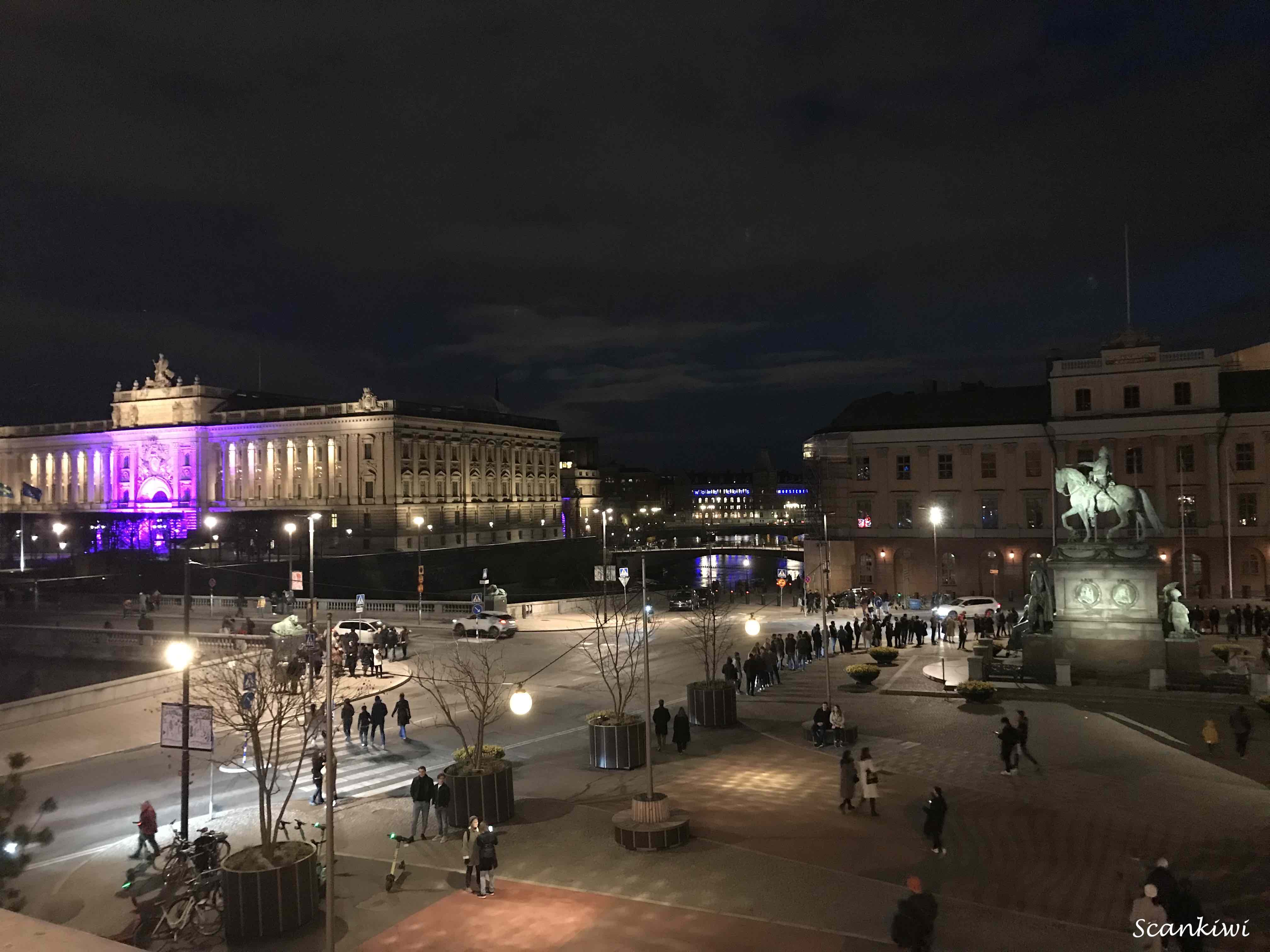
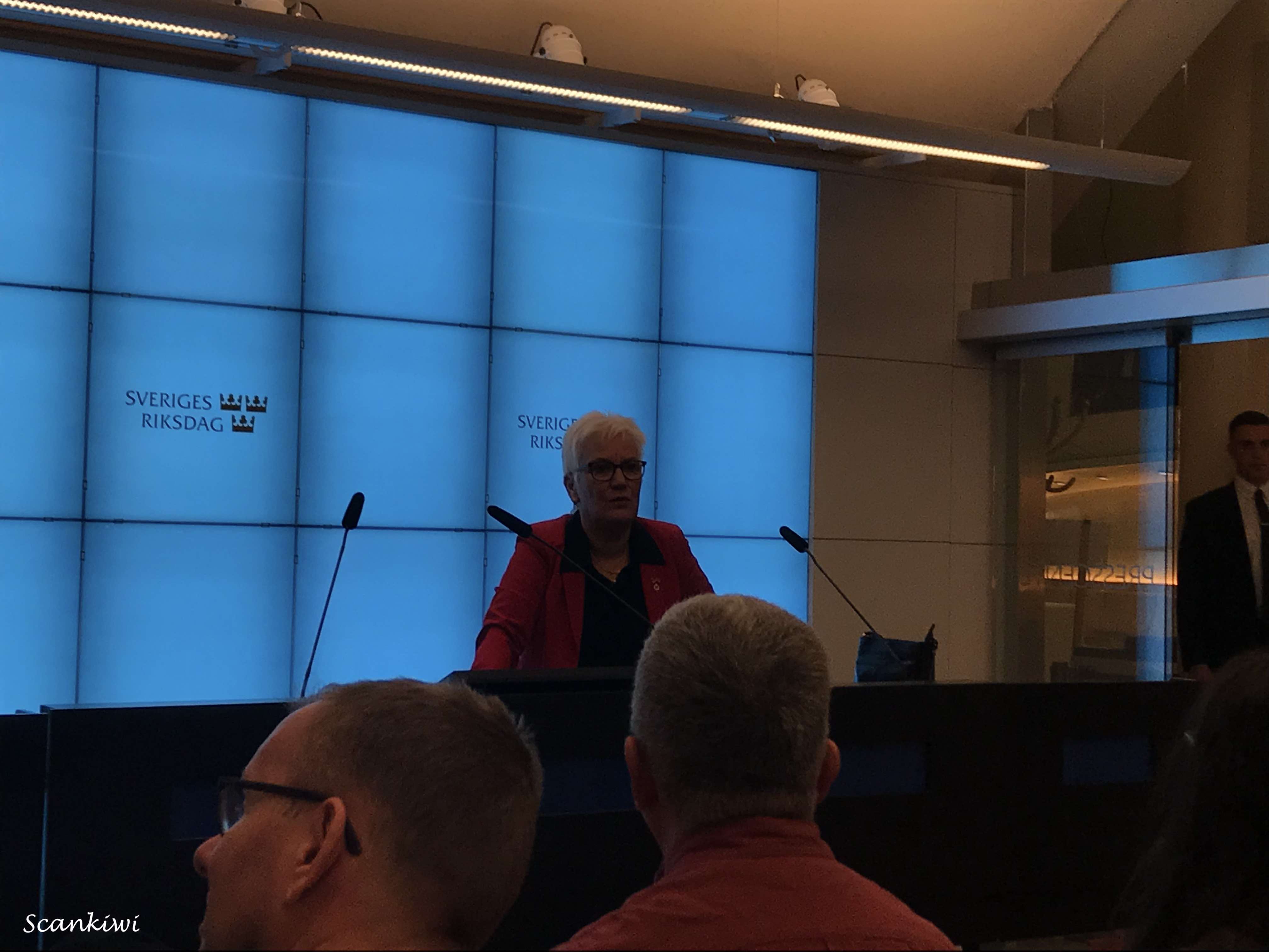
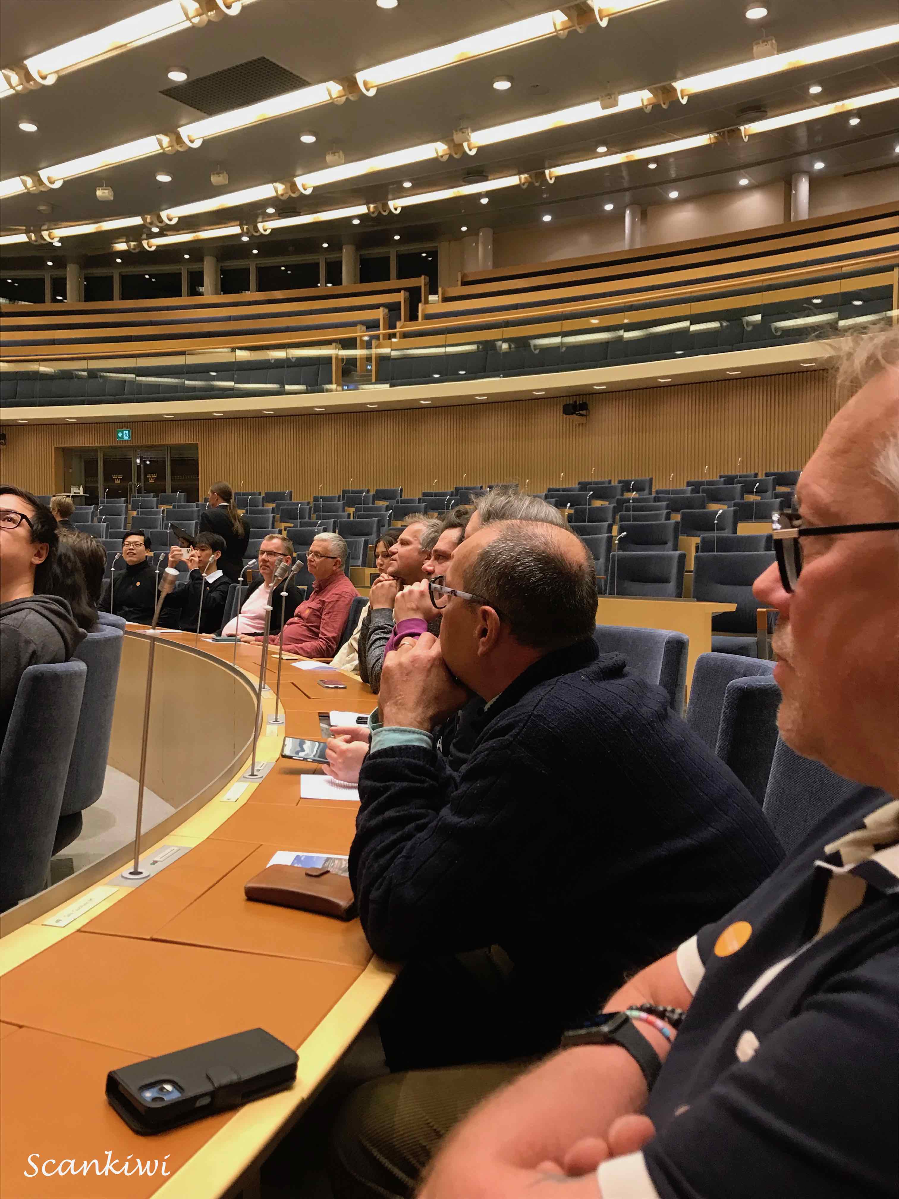
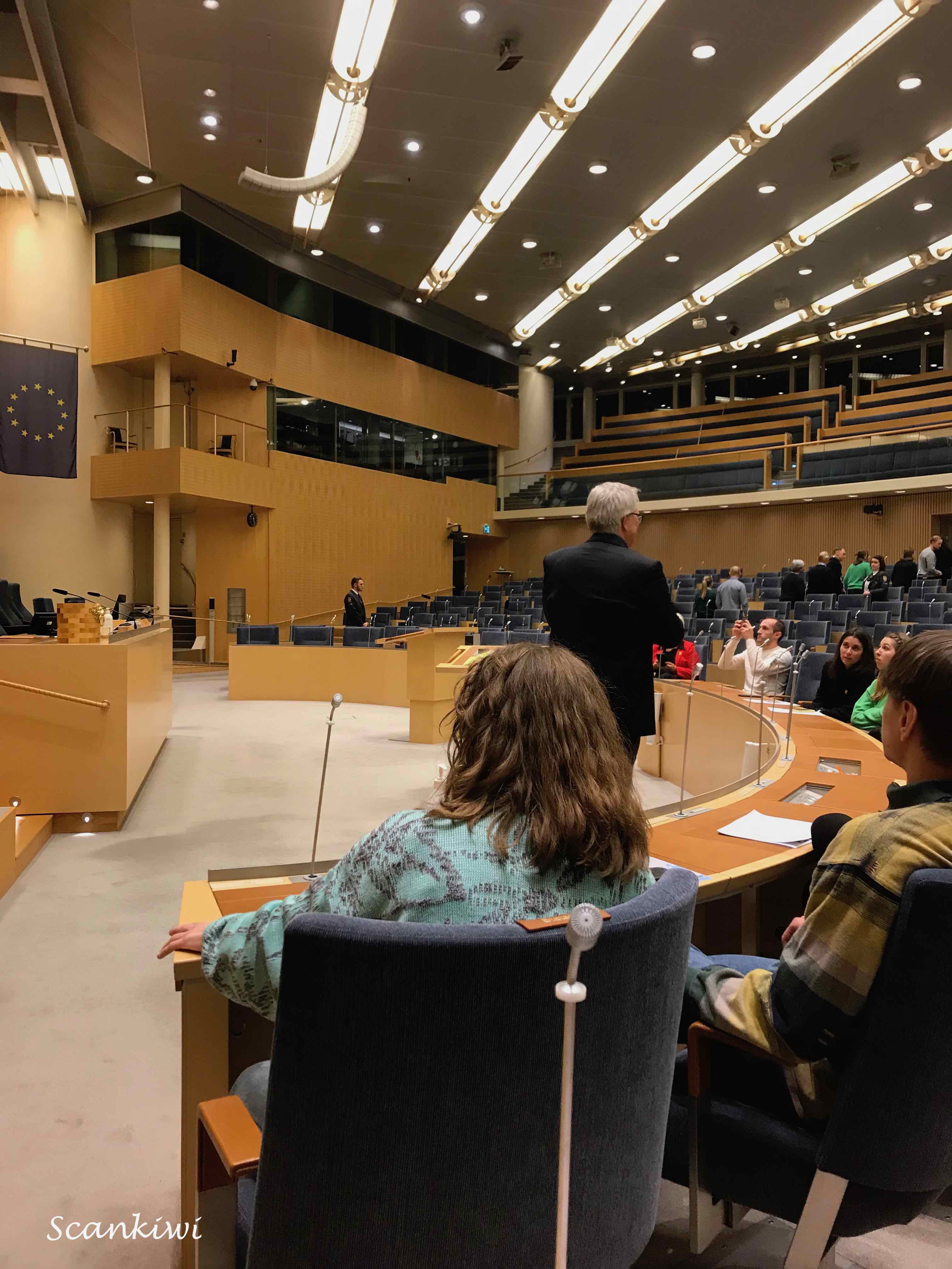
After the Medieval Museum it was on to the Swedish Parliament (The Riksdag) for a late night tour. We were the last tour of the night kicking off at 11.30 pm. After clearing the stringent security measures on entry we were taken up to the 4 th floor press room and introduced to our guide for the evening – First Deputy Speaker of the house, Åsa Lindestam, from the Swedish Social Democrat Party. A witty and humorous individual which I suppose you have too be to deal 349 members of parliament from 8 different parties crossing the entire political spectrum from left to right. The Swedish political system is based on proportional representation with the members serving fixed 4 year terms. Previously, the Monarch was the constitutional Head of State and called on politicians and parties to form governments and signed legislation into law. However since 1974, the Monarch’s role in the parliamentary system has been removed and these duties now fall to the elected Speaker of the House. The Government is formed by a majority which may include several parties or support parties. The Cabinet of the Swedish Government contains the Ministerial portfolios however Ministers maybe appointed from outside of parliament to sit in the cabinet. Ministers from outside the parliament can sit and speak in the chamber but not vote.
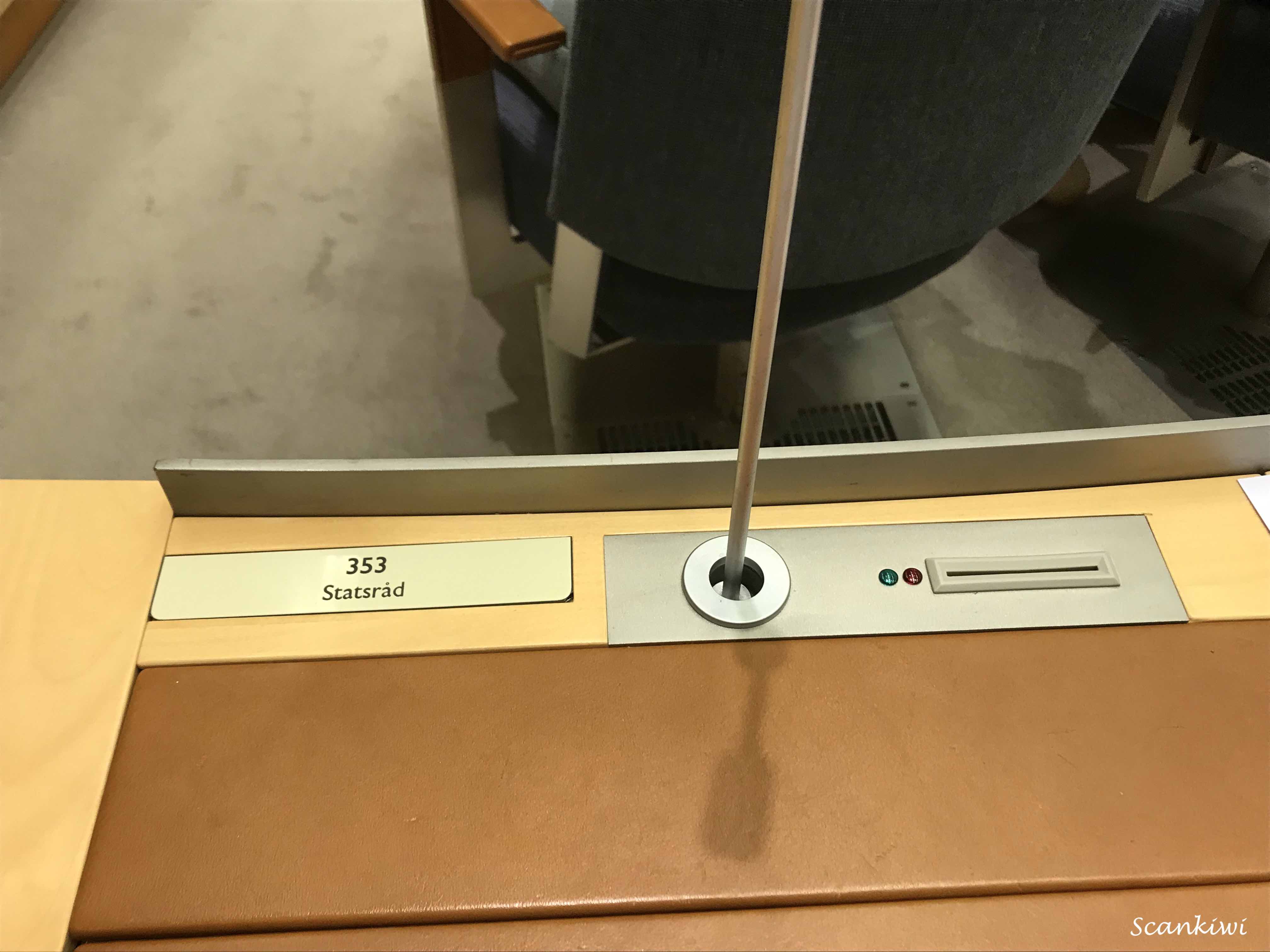
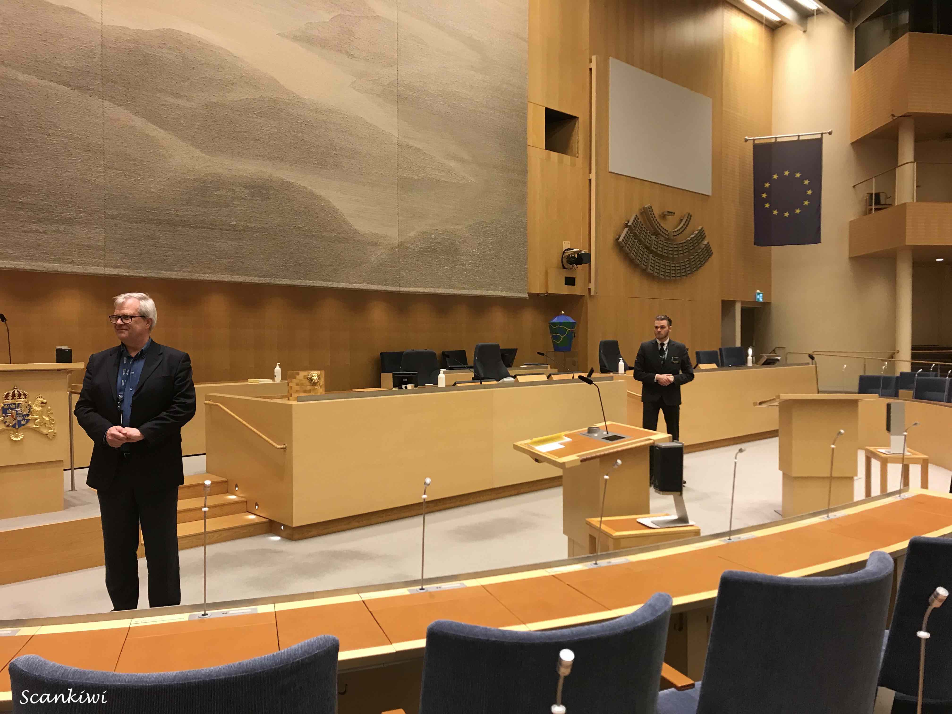
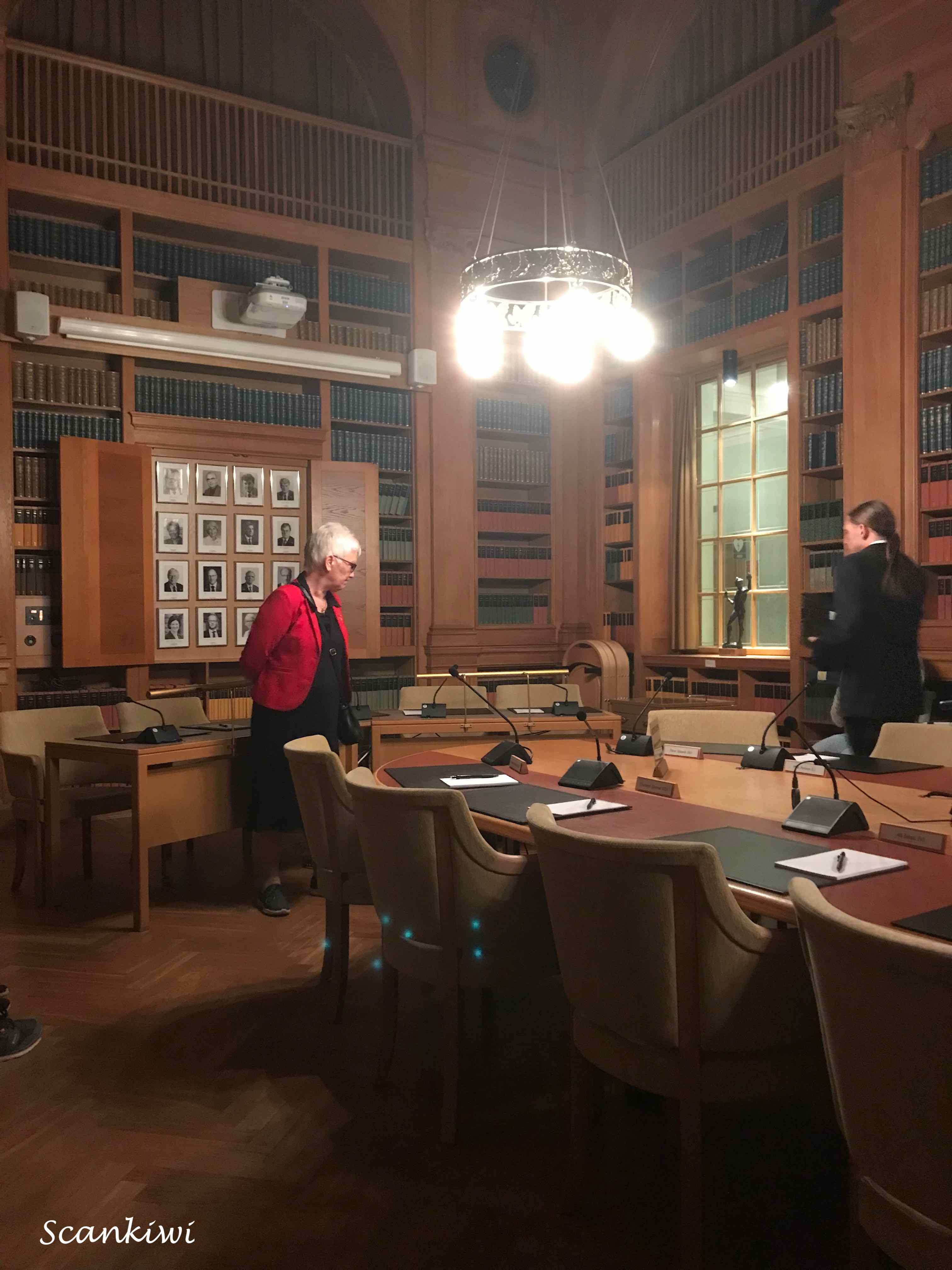
After this briefing by the Deputy Speaker we headed into the main parliamentary chamber where a made dash was made by various tour party members to occupy the most prominent seats. Moi, managed the occupy the seat of the Foreign Minister behind the Prime Ministers seat. Here the Director to the Parliamentary Chamber informed us on how the chamber worked. Interestingly, the members seats in the chamber are distributed geographically after the regions from which the were elected regardless of party affiliation. Dominating the chamber is a large tapestry titled “A Memory of a Landscape” by Elisabet Hasselberg Olsson. It hangs on the wall behind the Speaker’s table and is made up of 200 different shades of grey of hand-dyed flax sourced from across all of Sweden’s provinces. From the Chamber we moved to the Finance Select committee’s room. Here the Deputy Speaker (who is from one of the opposition parties) dropped a hilarious clanger about the extreme far right party (who are one of the support parties to the current Government). It did not go unmissed by the tour members who showed their full agreement with her assessment. Her parting comment was, “Anyway, I am not up for re-election if it comes out!” 🙂 Disappointingly, the tour did not include a visit to the old parliamentary chamber which was used when the Swedish Parliamentary system was a 2-chamber system until the reforms of 1974.
The night was drawing to a close and Stockholm’s Culture Night for another year was over. As we passed out of the doors of Parliament the time was nearing 1 am in the morning and it was time to head home and catch some zzzzzz’s. See you next year for Culture night 2023.


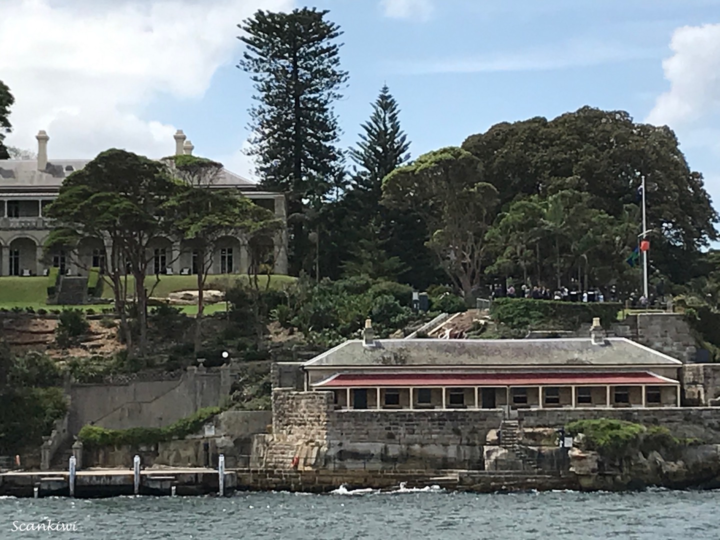
The day after Culture Night we met up with some friends for a walk around Stockholm’s Djurgården (The Royal Game Park) in the lovely spring weather and lunch before taking the train south to Malmö. First stop was to the island of Beckholmen (meaning Pitch or Tar Island). It was here during the 1600-1800s that a tar distillery was used to produce pitch for the city and the ship building industry. The stink and fire risk must have been horrendous. But as sailing ships gave was to steamships the island was turned into a shipyard with several dry docks being blown out of the granite on the island. These dry docks from the early 1800s are still in use today.
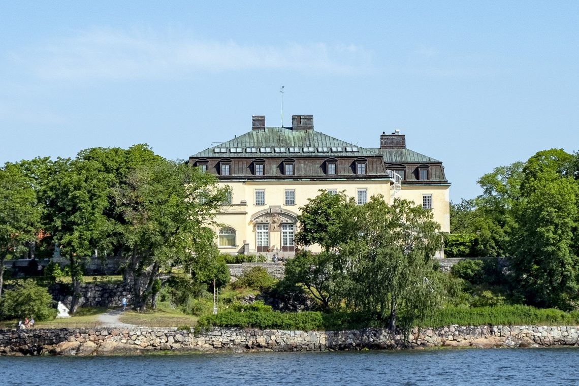
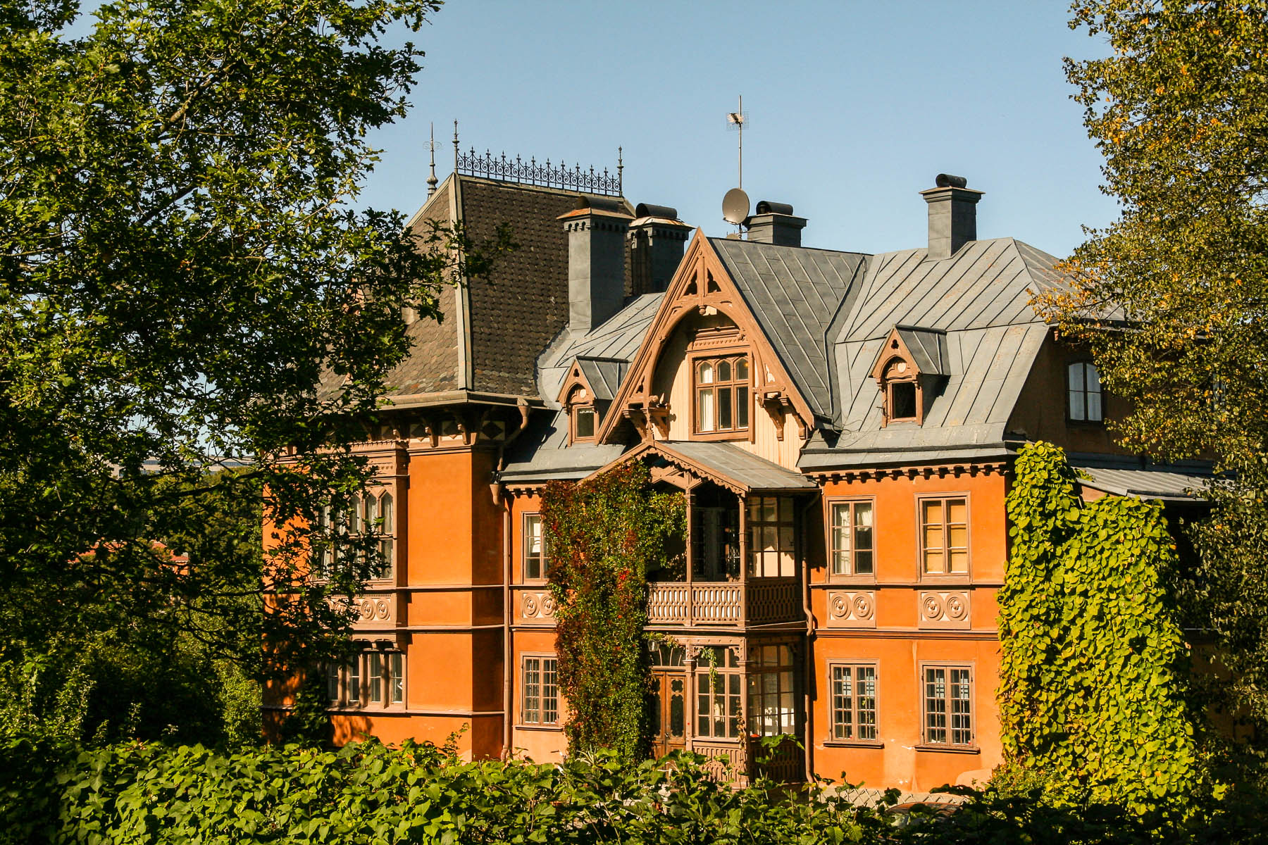
Djurgården is filled with a mixture of beautiful architecture from different epochs. As we walked from Beckholm through the historical precinct of the old Djurgården village, we passed the typical wooden 2 storey row houses from the 1700 & 1800s. Passing on through the park you are meet by large villas from the 1800s, some with royal connections such as Waldemarsudda and some now turned into Embassies such as the Italien Embassy. Waldemarsudda was the home of Prince Eugen, great great uncle to the current king. He was the single gay son of Oscar II of Sweden and and went on to become one of Sweden’s most prominent landscape painters. The villa houses some of his paintings and the collection he accumulated over time. He left the villa to the city as a museum. I also mentioned in a previous post a mural he painted in the Stockholm Town Hall of Lake Mälaren in the room now called the Prince’s Gallery.
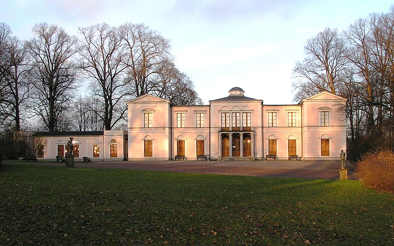
Further meanderings through Djurgården brought us to our lunch spot in the gardens surrounding Rosendals Palace. A small Swedish palace pavilion built in the 1820s for King Karl XIV Johan, to escape from the formalities of court life at the Royal Palace. The latest royal resident of the palace was the current Prince Carl Philip who used it while his house was been renovated. After lunch it was time to walk off the food and head for the train home.


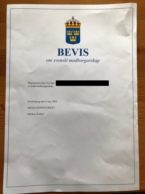
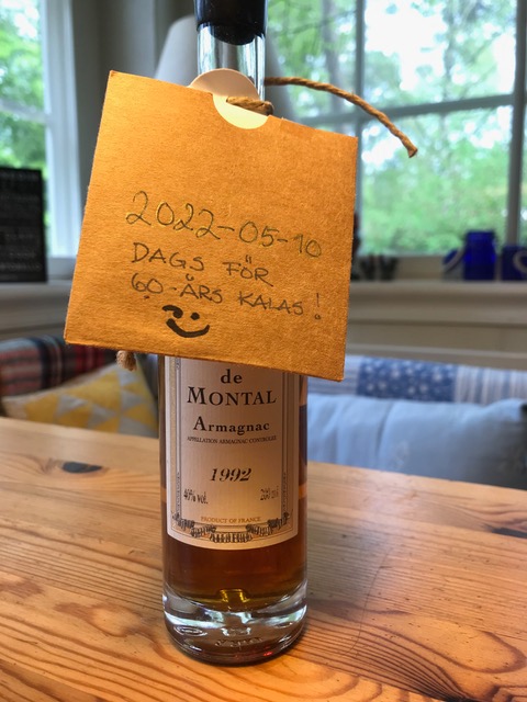
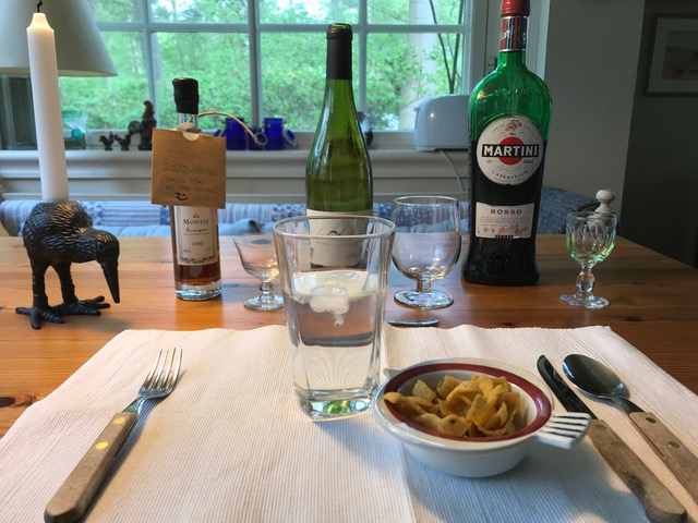
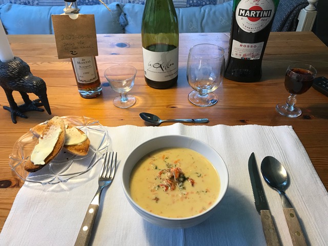
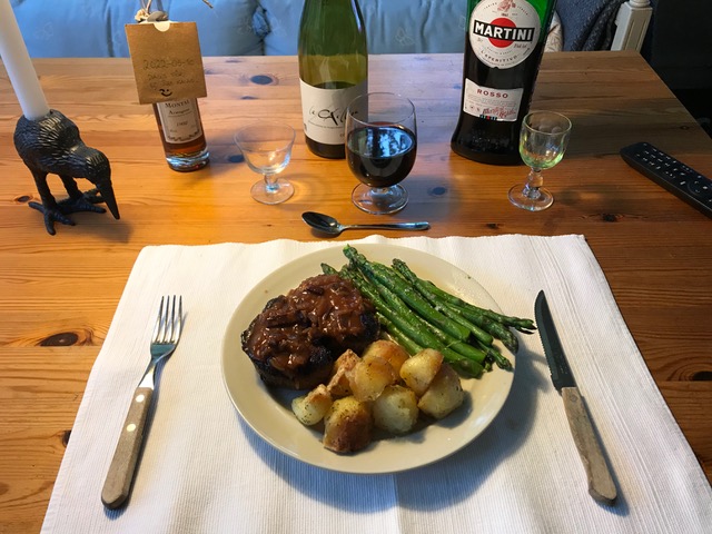
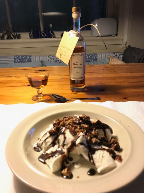
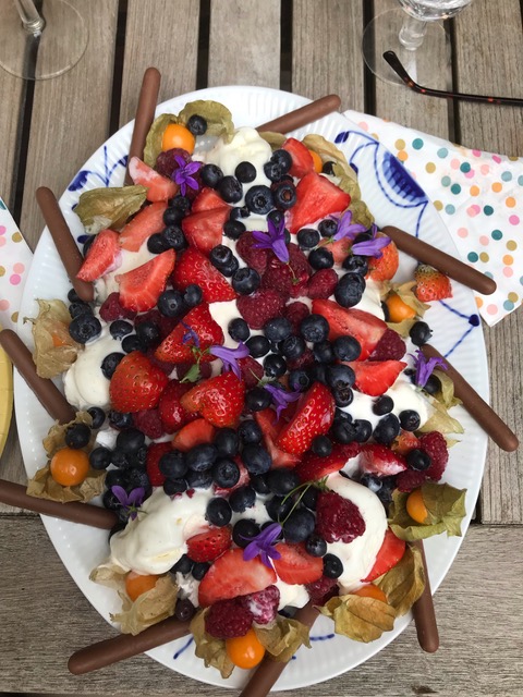
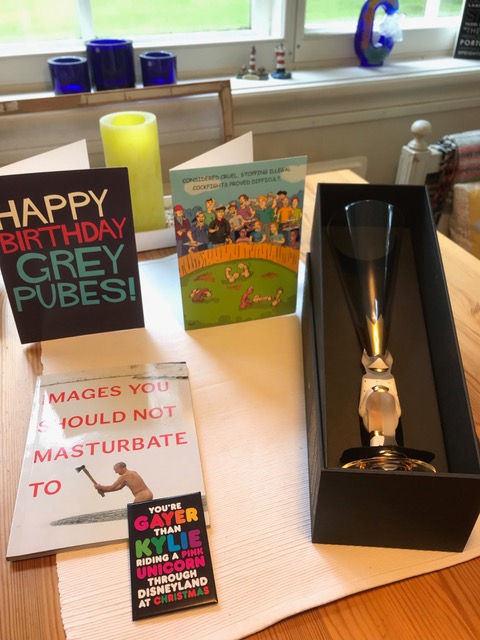
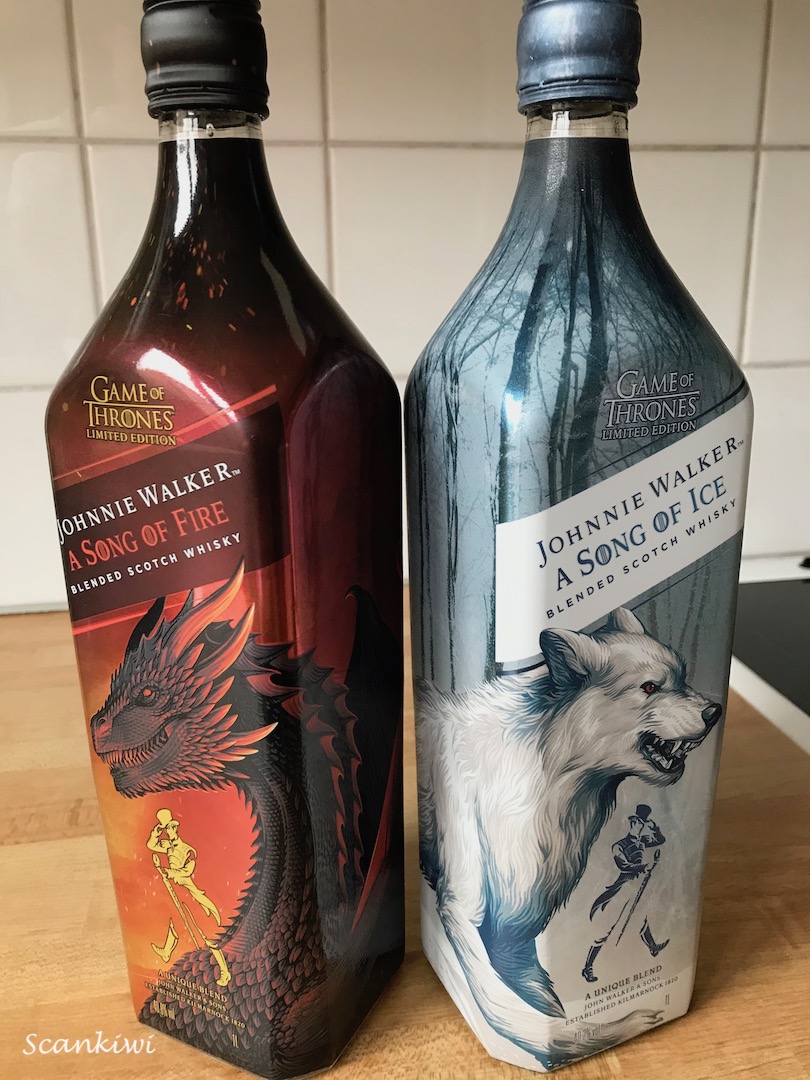
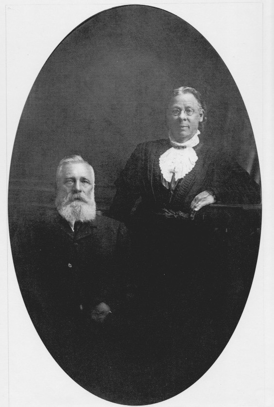
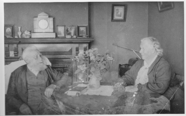
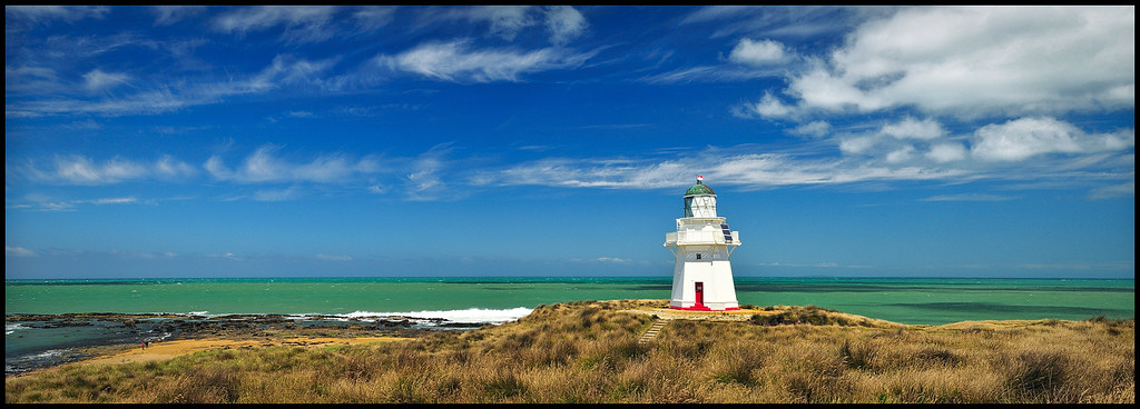
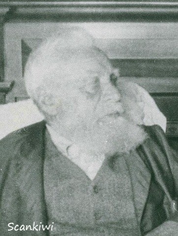
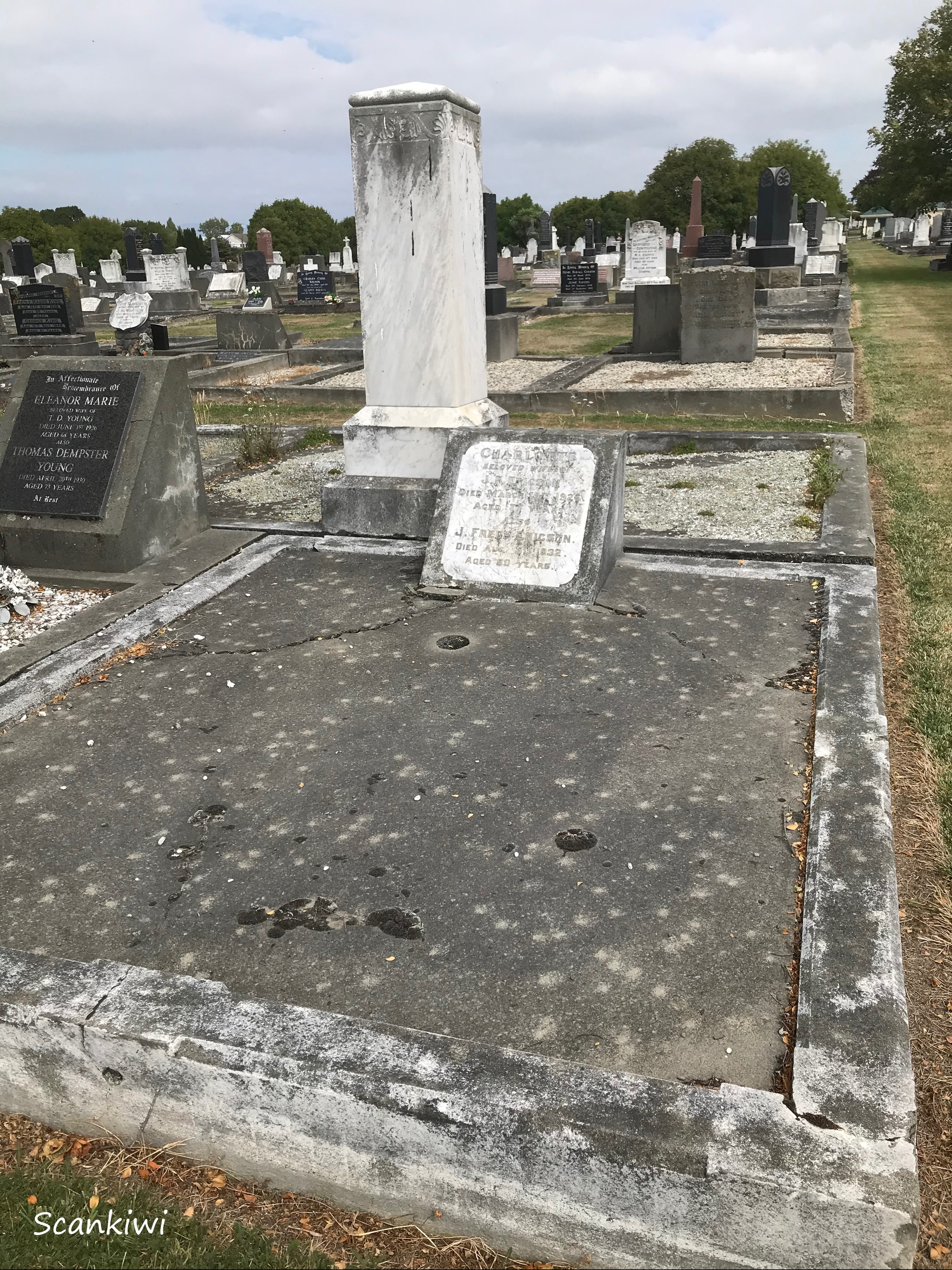
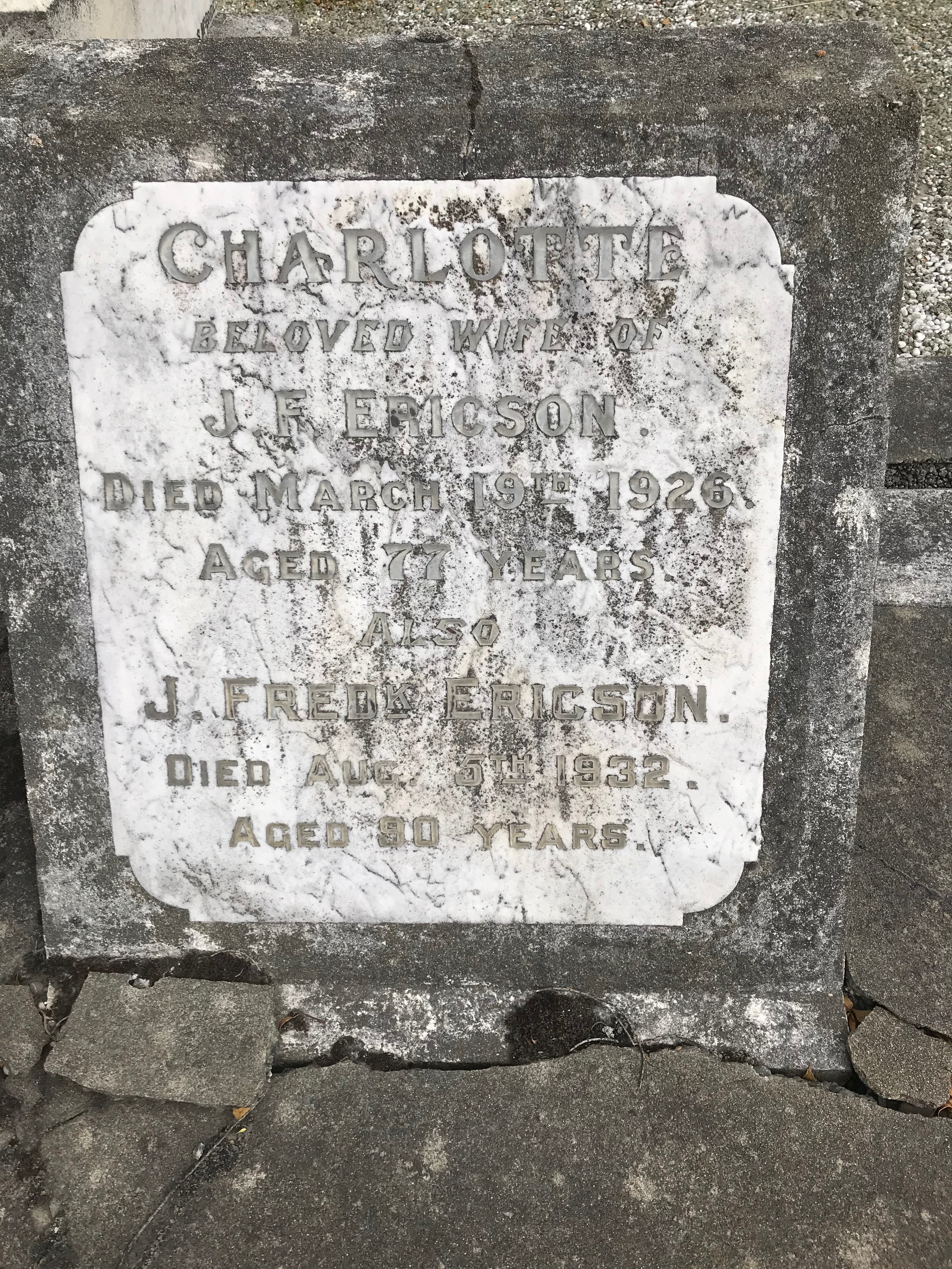
Another big event of 2022 was reaching the ripe old age of 60. Residual restrictions and social mind sets following the pandemic meant we were still a little tentative about large social gatherings. Was the pandemic really over or were we just in a lull in proceedings? Therefore I chose to celebrate it alone. It was actually a double celebration, for the day before my birthday I received in the post my Swedish citizenship. Could it be because I might have met the right people earlier this year 😉 (see above)? Within in my family the circle has made a full turn from 1860 with Johan Fredrik Ericsson leaving Sweden for New Zealand and 5 generations later once again a Swede back in the family. The day was spent exactly as I wanted at my summer house in Ystad – Villa Dass. The day began with a lovely lunch in town and then in the evening I prepared a lovely 3 course meal finished off by opening the last bottle from my 50th birthday present – a fantastic 30 year old Armagnac from 1992. However, over the coming weeks I would not be allowed to forget I had turned 60 with several surprise visits and dinners from beloved friends which were all rather inconvenient as they caught me unawares and unprepared. Piece of advice, can you warn me next time? 😀


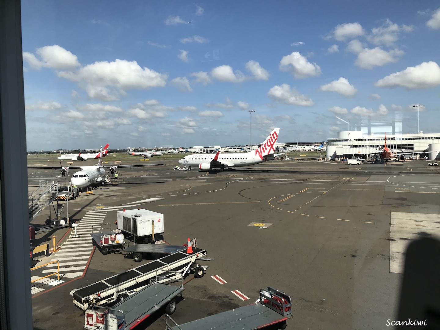
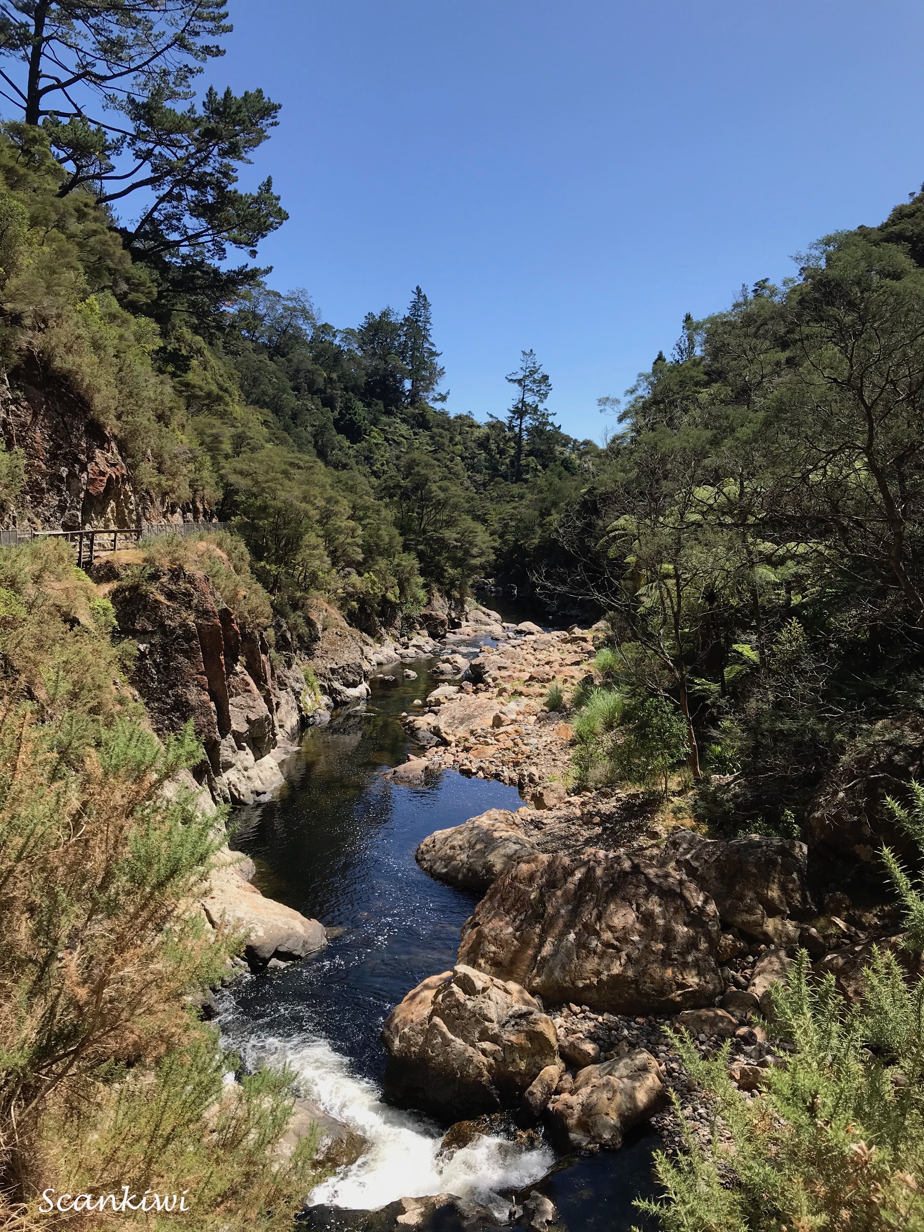
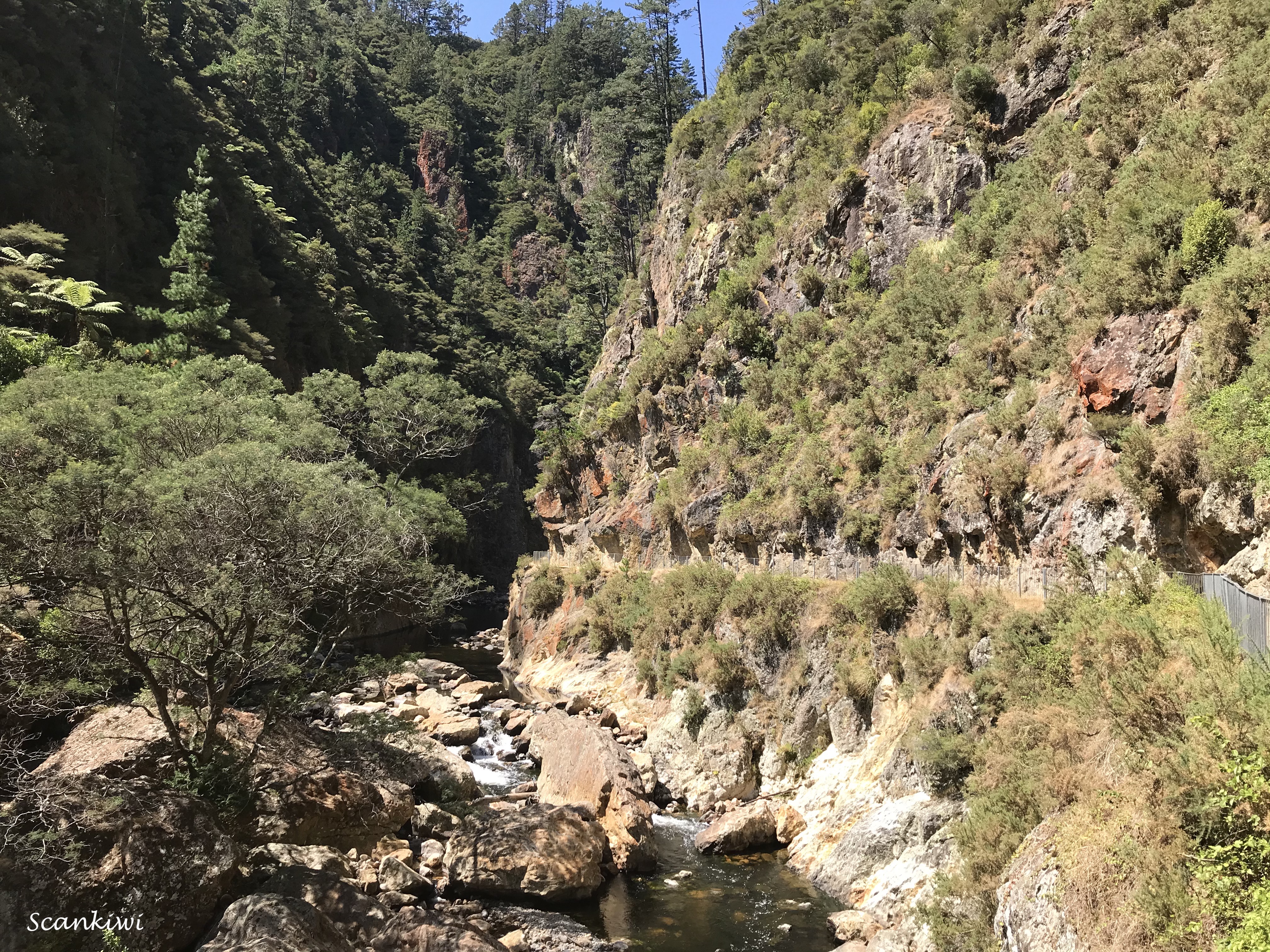
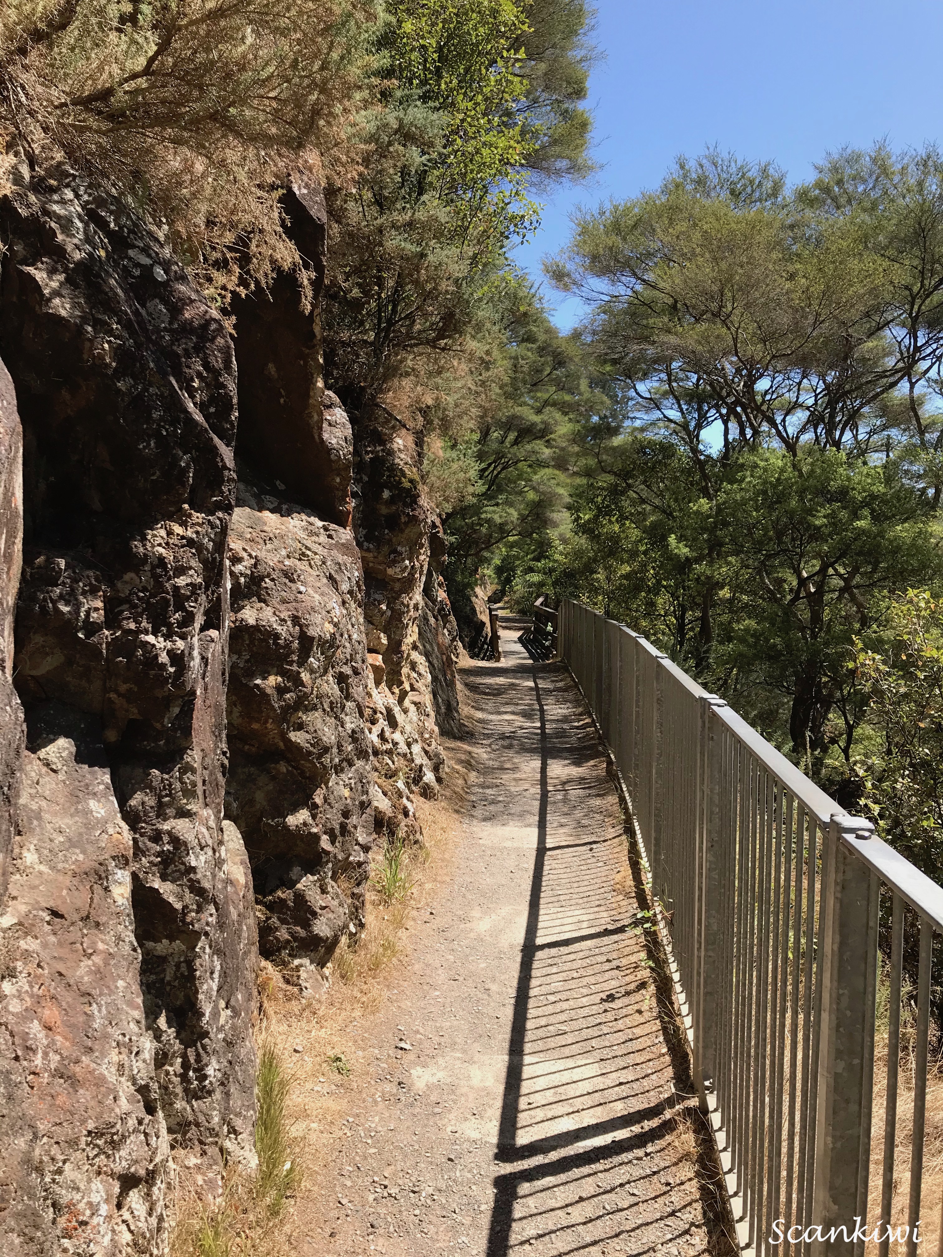
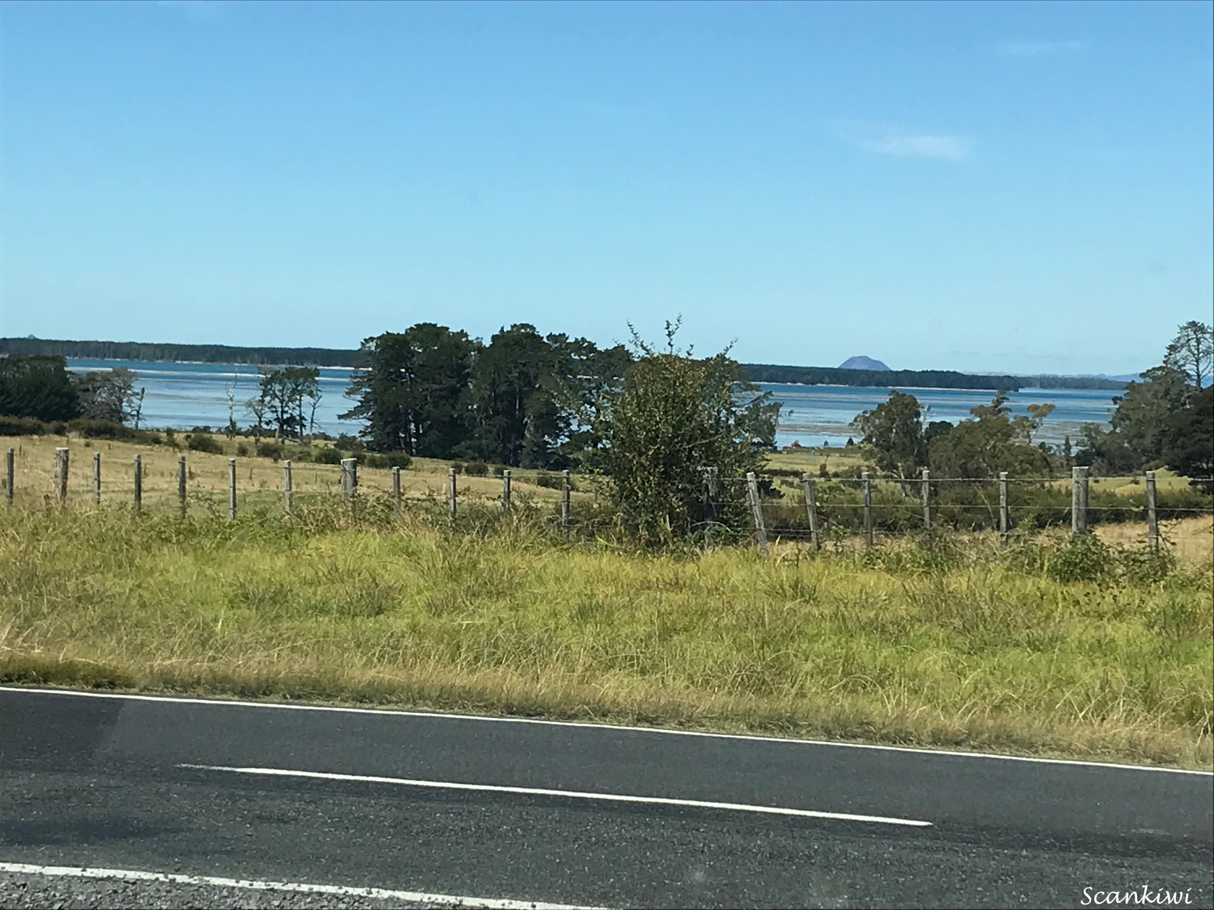
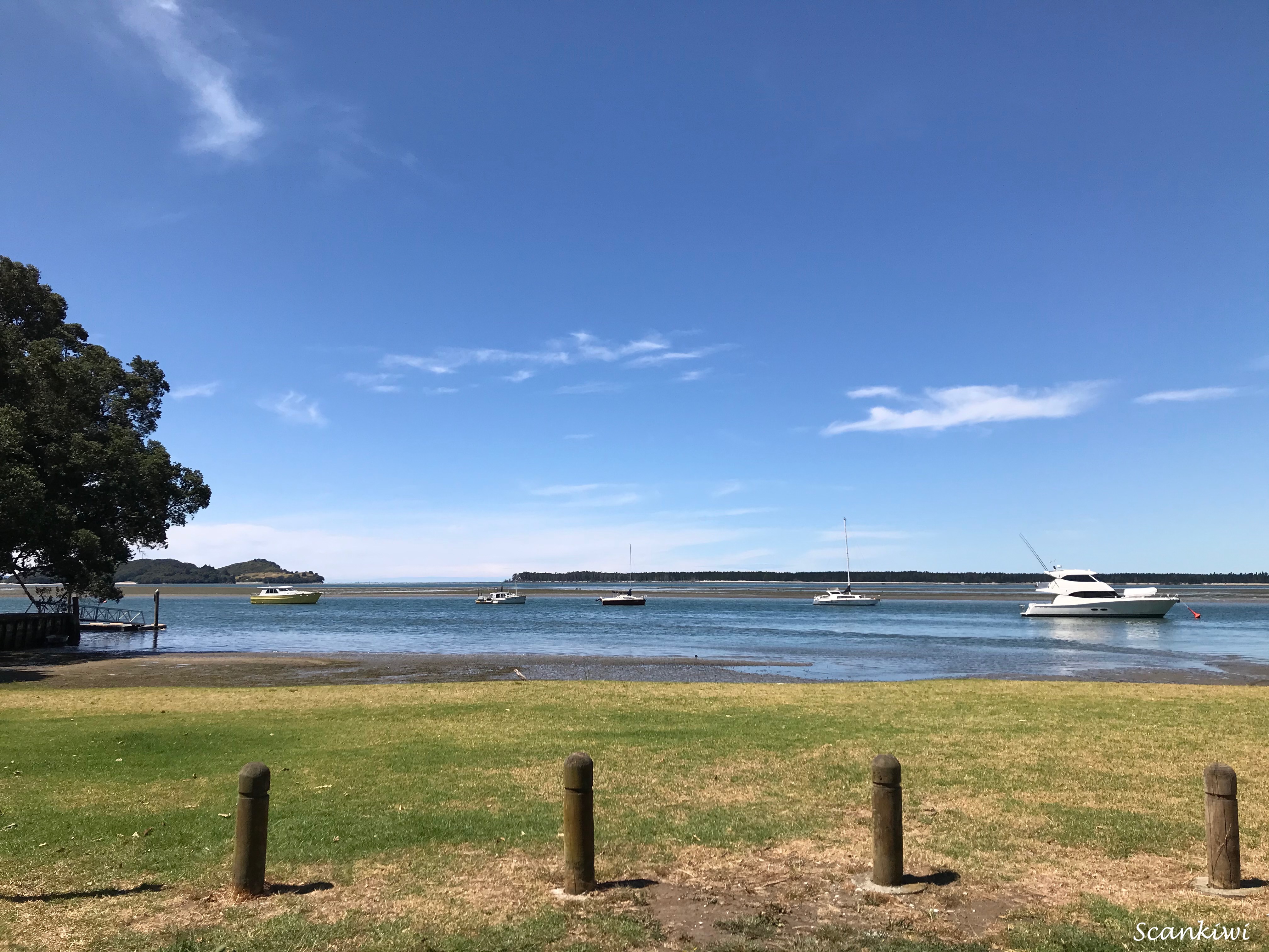
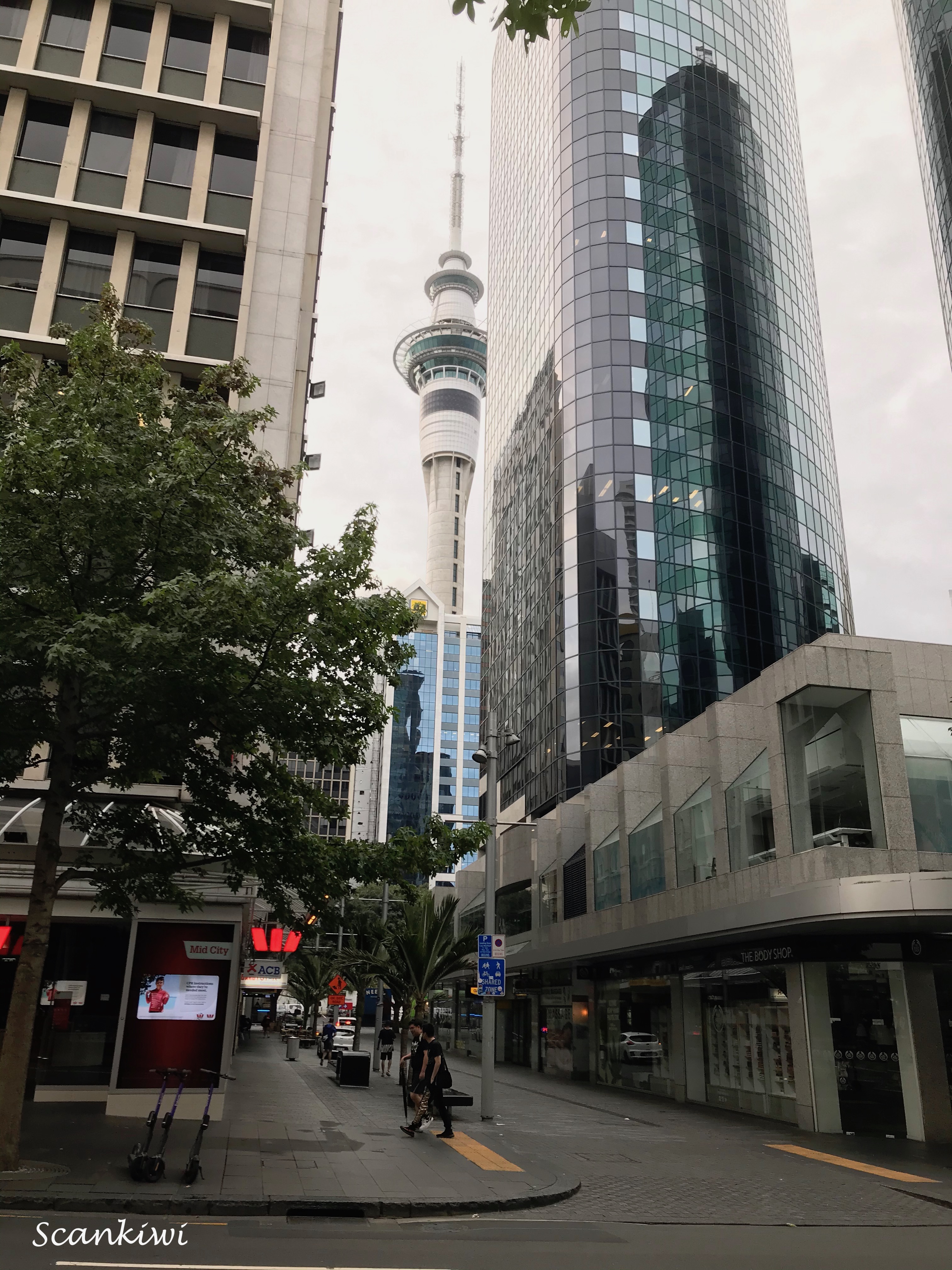
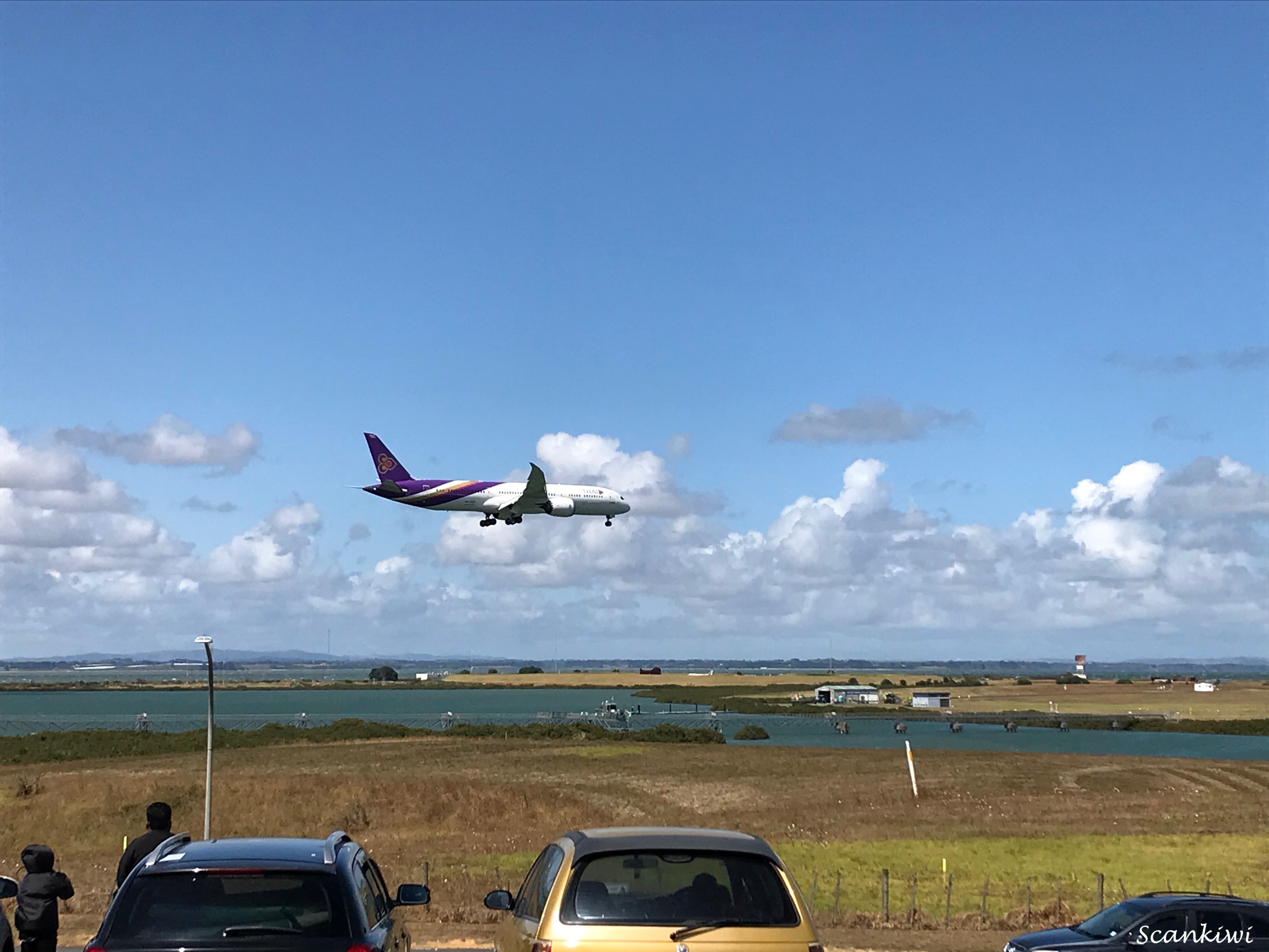
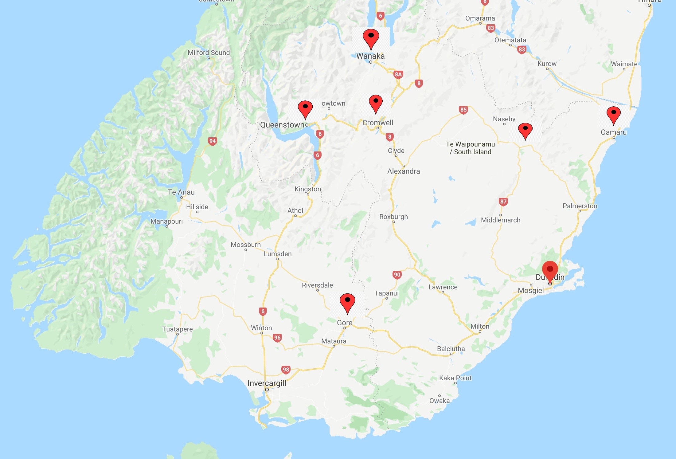
Time now to plan my biennial trip home to the motherland in Feb-March 2023.


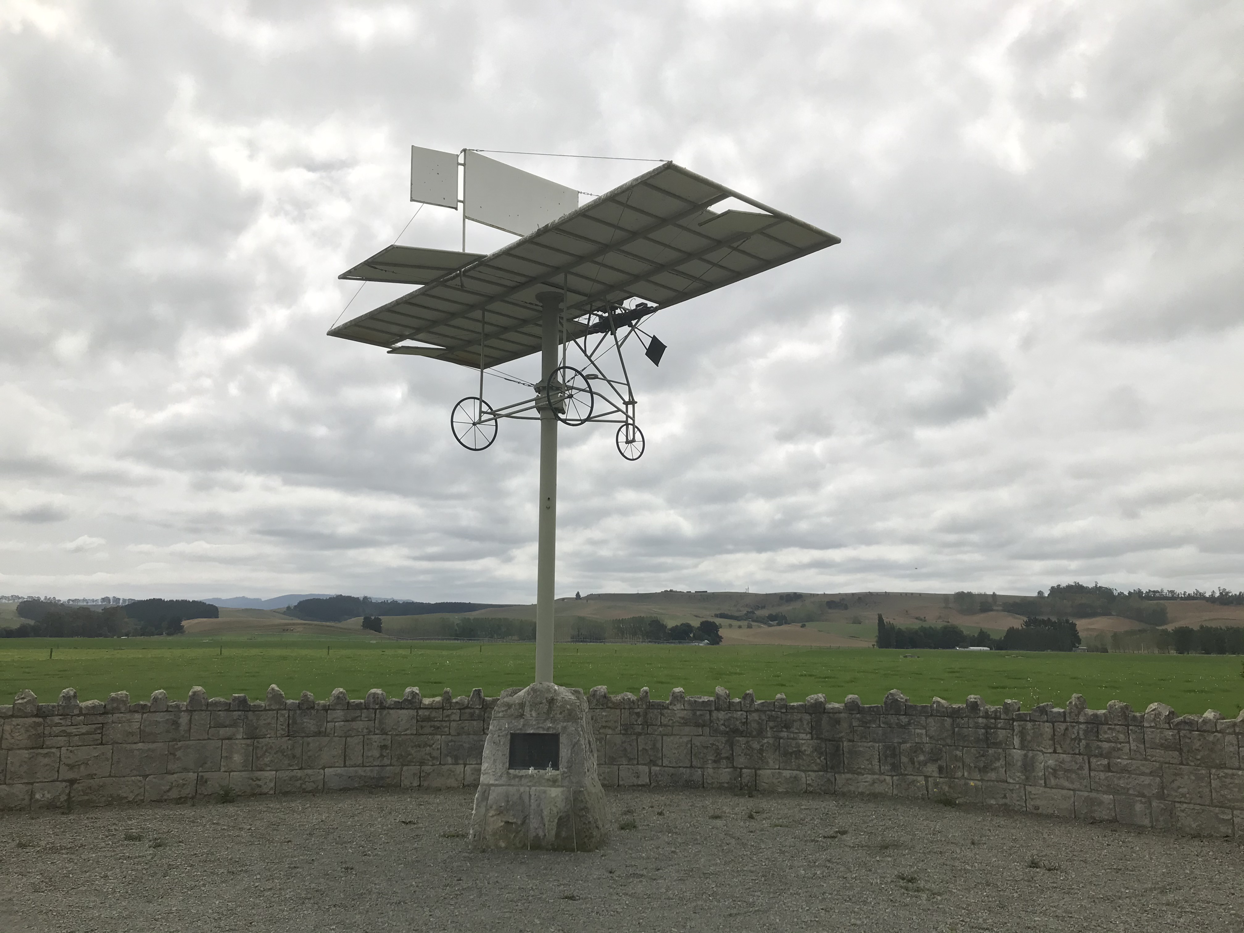

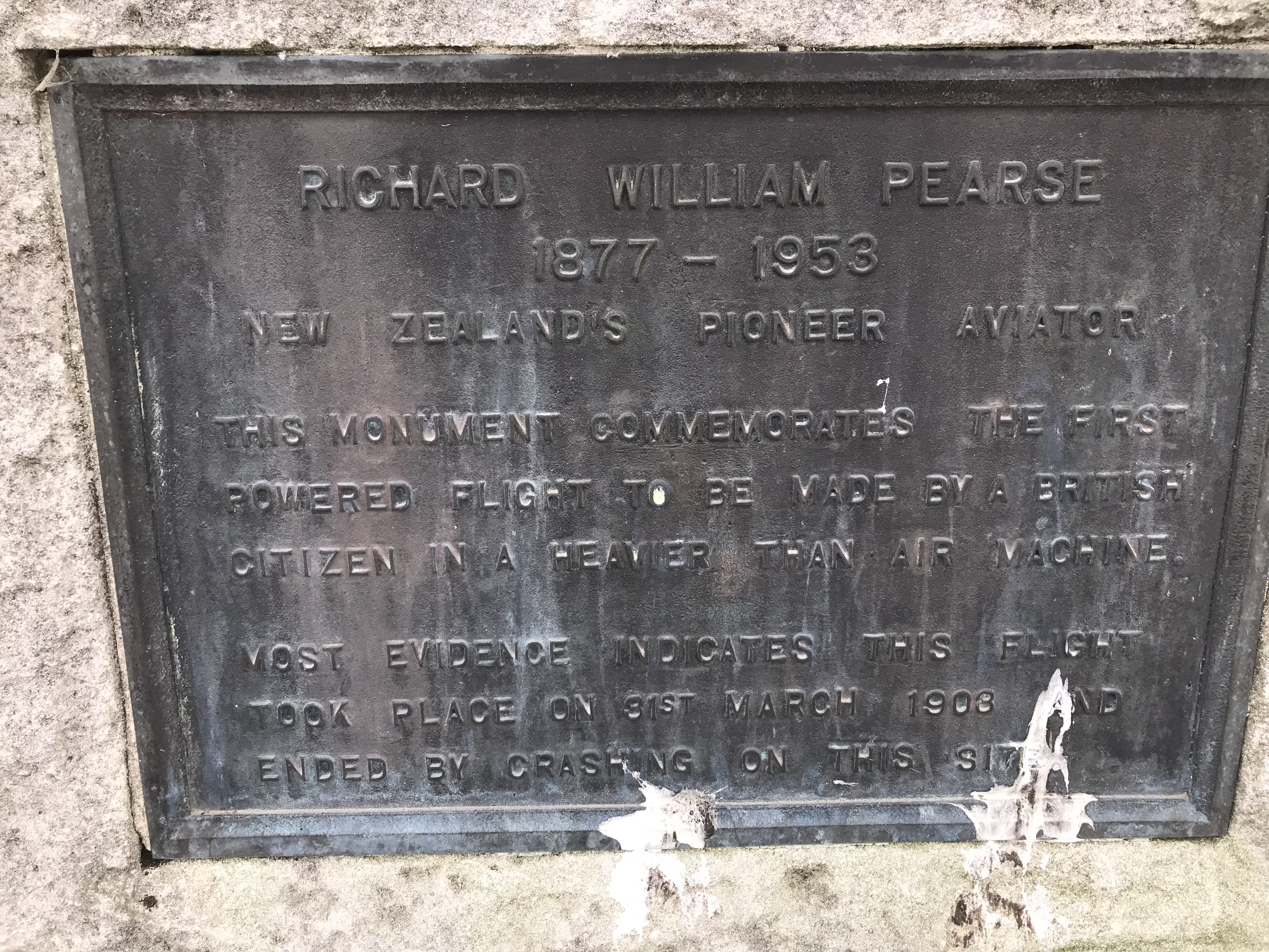
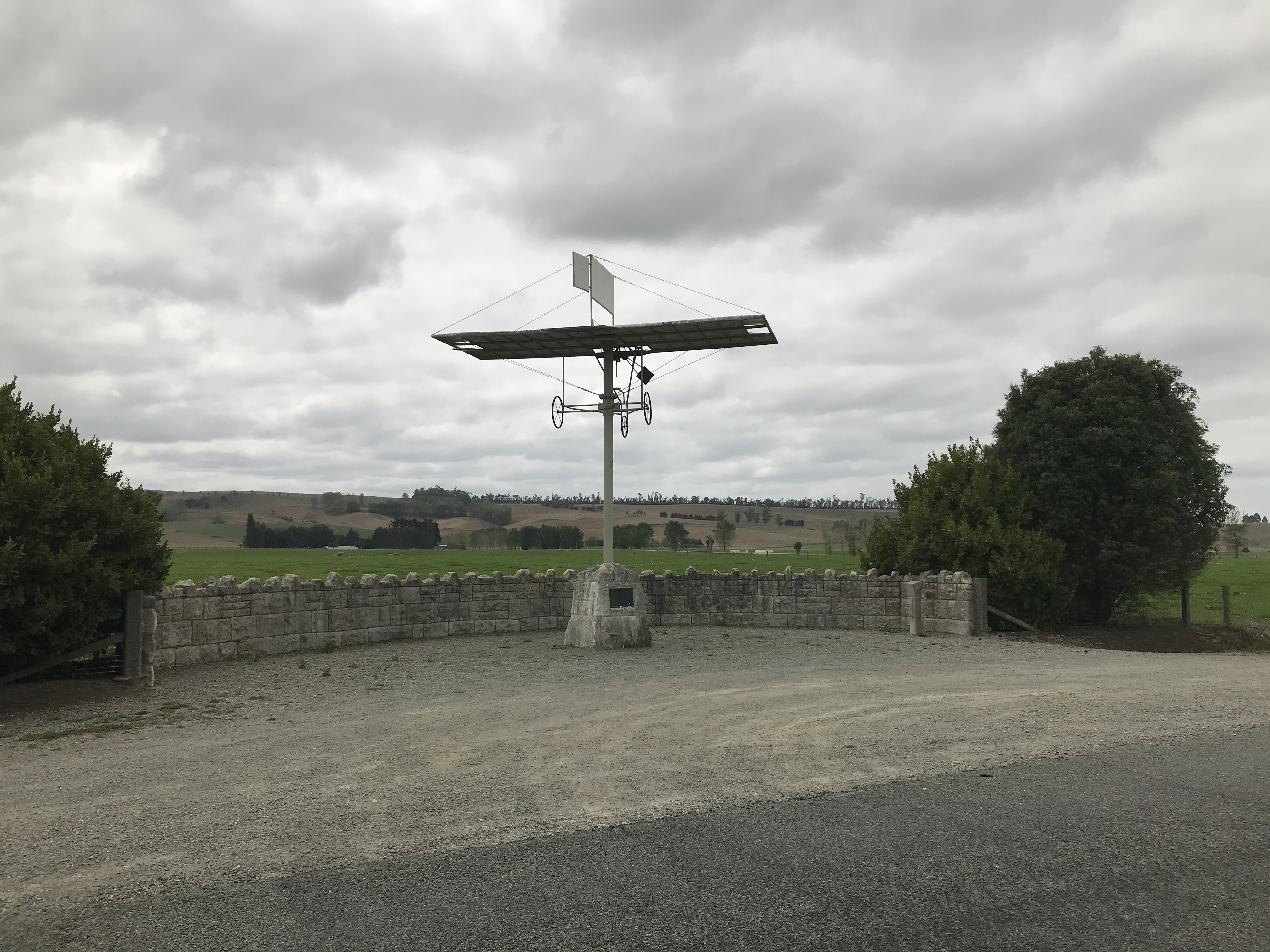


 and haka at Treaty grounds")